-
Distribution of Radionuclides in Wisconsin Groundwater
Open-file report; contains unpublished data that has not yet been peer-reviewed. -
Average ground-water temperature map, Wisconsin.
Open-file report; contains unpublished data that has not yet been peer-reviewed. -
Availability of Groundwater in Grant County, Wisconsin
Open-file report; contains unpublished data that has not yet been peer-reviewed. -
Wisconsin Groundwater-Level Monitoring Network Improvement
The Wisconsin Groundwater-Level Monitoring Network consists of 93 wells and 2 spring gaging stations. This report documents work performed on seven of the wells between August 1, 2016 and July 31, 2017, and appendices provide historical reference documents. -
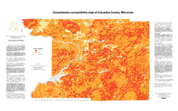
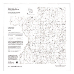
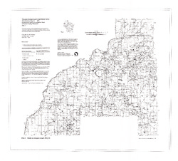
Groundwater Susceptibility Map of Columbia County, Wisconsin
Open-file report; contains unpublished data that has not yet been peer-reviewed.-
Groundwater Susceptibility Map of Columbia County, Wisconsin
2012
Map: 34.5 in x 20.5 in, scale 1:100,000
-
Groundwater Susceptibility Map of Columbia County, Wisconsin [GIS data]
2012
GIS Data: Grid files, Layer files
-
-
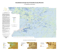
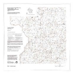
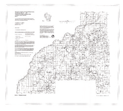
Groundwater Recharge Map of Columbia County, Wisconsin
Open-file report; contains unpublished data that has not yet been peer-reviewed.-
Groundwater Recharge Map of Columbia County, Wisconsin [GIS data]
2012
GIS Data: Grid files, Layer files
-
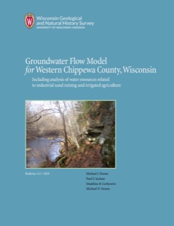
Groundwater Flow Model for Western Chippewa County
This report documents the groundwater flow model that was developed for western Chippewa County, Wisconsin. It also presents analyses that were run to evaluate how industrial sand (frac sand) mining and irrigated agriculture--might affect the water table and base flows of nearby headwater streams. -
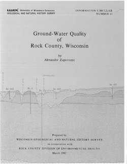
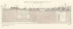
Ground-Water Quality of Rock County, Wisconsin
-
Ground-Water Quality of Rock County, Wisconsin
1982
Report: 92 p. + cross section and maps (scale 1:100,000)
-
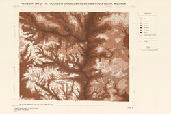
Preliminary Map of the Thickness of Unconsolidated Material in Rock County, Wisconsin [plate 2]
1982
Map: Scale 1:100,000
-
-
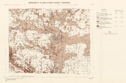
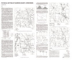
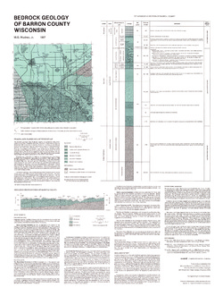
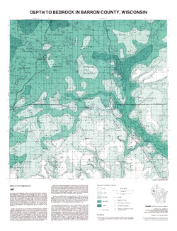
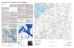
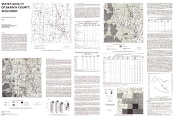
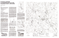
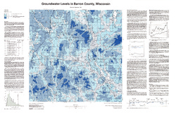
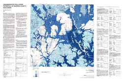
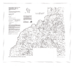
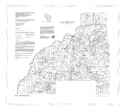
Atlas of Groundwater Resources and Geology of Barron County, Wisconsin
Includes Physical Setting; Soils of Barron County and Their Ability to Attenuate Pollutants; Bedrock Geology; Depth to Bedrock; Hydrogeology; Water Quality; Potential Sources of Groundwater Pollution; Groundwater Levels; Groundwater Pollution Potential.-
Atlas of Groundwater Resources and Geology of Barron County, Wisconsin: Soils of Barron County and Their Ability to Attenuate Pollutants
1987
Map: 30.8 in x 20.8 in, scale 1:100,000
-
Atlas of Groundwater Resources and Geology of Barron County, Wisconsin: Bedrock Geology of Barron County, Wisconsin
1987
Map: 21.5 in x 28.5 in, scale 1:250,000
-
Atlas of Groundwater Resources and Geology of Barron County, Wisconsin: Depth to Bedrock in Barron County, Wisconsin
1987
Map: 21.1 in x 27.6 in, scale 1:100,000
-
Atlas of Groundwater Resources and Geology of Barron County, Wisconsin: Hydrogeology of Barron County, Wisconsin
1987
Map: 37.5 in x 24.5 in, scale 1:100,000
-
Atlas of Groundwater Resources and Geology of Barron County, Wisconsin: Potential Sources of Groundwater Pollution in Barron County, Wisconsin
1987
Map: 35.75 in x 23.3 in, scale 1:100,000
-
Atlas of Groundwater Resources and Geology of Barron County, Wisconsin: Groundwater Levels in Barron County, Wisconsin
1987
Map: 35.8 in x 23.3 in, scale 1:100,000
-
Atlas of Groundwater Resources and Geology of Barron County, Wisconsin: Groundwater Pollution Potential of Barron County, Wisconsin
1987
Map: 36.7 in x 24.25 in, scale 1:100,000
-
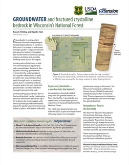
Groundwater and Fractured Crystalline Bedrock in Wisconsin's National Forest
An exploratory borehole drilled into the fractured crystalline (granite) bedrock in Chequamegon-Nicolet National Forest provided a rare opportunity to investigate groundwater flow. This 2-page factsheet provides insights that can be applied to groundwater management in bedrock aquifers. -
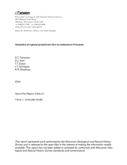
Simulation of Regional Groundwater Flow in Southeastern Wisconsin
Open-file report; contains unpublished data that has not yet been peer-reviewed.-
Simulation of Regional Groundwater Flow in Southeastern Wisconsin [data]
2004
Data: GWV groundwater flow model files
-
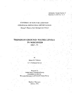
Trends in Ground-Water Levels in Wisconsin, 1967-71
Supplement to Information Circular 9, Trends in Ground-Water Levels in Wisconsin through 1966. -
Applications of the Columbia County, Wisconsin, Groundwater-Flow Model
Computerized groundwater-flow models provide scientific analysis of water resources. Since its initial development in 2014, the Columbia County groundwater-flow model has been used to respond to requests for information about specific groundwater and land use issues. This companion report to the Hydrogeology and simulation of groundwater flow in Columbia... -
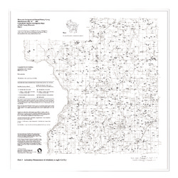
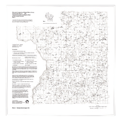
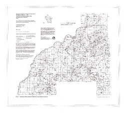
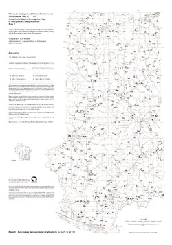
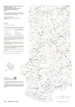
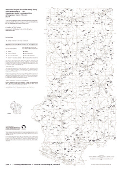
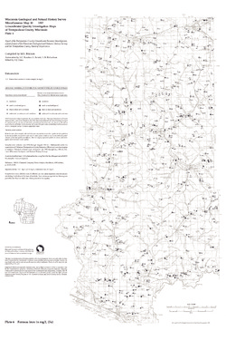
Groundwater Quality Investigation Maps of Buffalo County, Wisconsin
Includes Plate 1: Nitrate as Nitrogen in mg/L. Plate 2: Chloride in mg/L. Plate 3: Laboratory Measurement of Alkalinity in mg/L. Plate 4: Total Hardness in mg/L. Plate 5: Laboratory Measurement of Electrical Conductivity in μmhos/cm. Plate 6: Ferrous Iron in mg/L. -
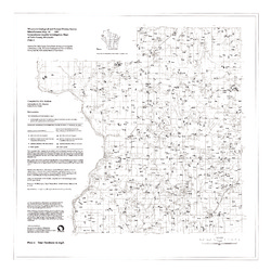
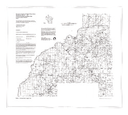
Groundwater Quality Investigation Maps of Polk County, Wisconsin
Includes Plate 1: Nitrate as Nitrogen in mg/L. Plate 2: Chloride in mg/L. Plate 3: Laboratory Measurement of Alkalinity in mg/L. Plate 4: Total Hardness in mg/L. Plate 5: Laboratory Measurement of Electrical Conductivity in μmhos/cm. Plate 6: Ferrous Iron in mg/L. -
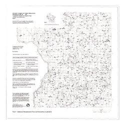
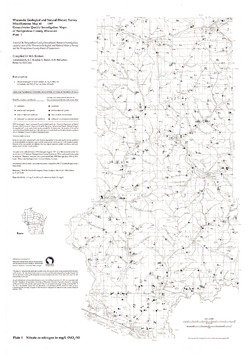
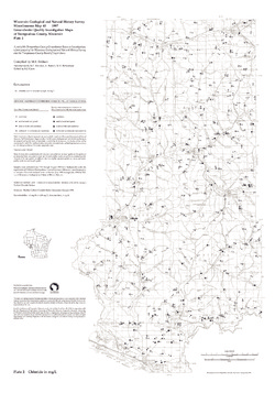
Groundwater Quality Investigation Maps of Trempealeau County, Wisconsin
Includes Plate 1: Nitrate as Nitrogen in mg/L. Plate 2: Chloride in mg/L. Plate 3: Laboratory Measurement of Alkalinity in mg/L. Plate 4: Total Hardness in mg/L. Plate 5: Laboratory Measurement of Electrical Conductivity in μmhos/cm. Plate 6: Ferrous Iron in mg/L.

Publications Catalog
Wisconsin Geological and Natural History Survey