-
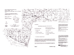
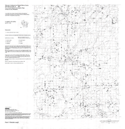
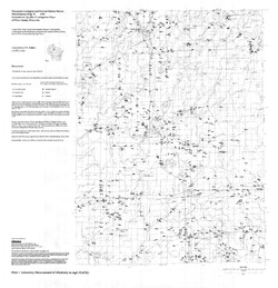
Groundwater Quality Investigation Maps of Pepin County, Wisconsin
Includes Plate 1: Nitrate as Nitrogen in mg/L. Plate 2: Chloride in mg/L. Plate 3: Laboratory Measurement of Alkalinity in mg/L. Plate 4: Total Hardness in mg/L. Plate 5: Laboratory Measurement of Electrical Conductivity in μmhos/cm. Plate 6: Ferrous Iron in mg/L. -
Wisconsin Groundwater-Level Monitoring Network Improvements, 2022-2024
This report documents work completed as part of a grant from the U.S. Geological Survey's National Groundwater Monitoring Network (NGWMN) program. It provides an overview of the Wisconsin Groundwater-Level Monitoring Network (WGLMN) and provides detailed description of well evaluation and repair activities, and drilling of new monitoring wells across the... -
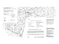
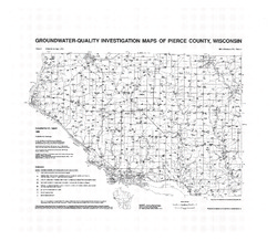
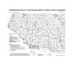
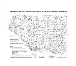
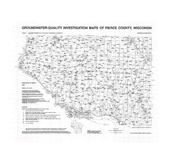
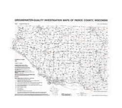
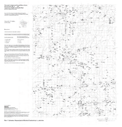
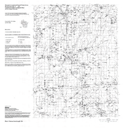
Groundwater-Quality Investigation Maps of Pierce County, Wisconsin
Includes Plate 1: Sample Numbers (map 90-3a). Plate 2: Nitrate as Nitrogen in mg/L (map 90-3b). Plate 3: Chloride in mg/L (map 90-3c). Plate 4: Laboratory Measurement of pH (map 90-3d). Plate 5: Total Hardness in mg/L (map 90-3e). Plate 6: Laboratory Measurement of Electrical Conductivity in μmhos/cm (map 90-3f). Plate 7: Ferrous Iron in mg/L (map 90-3g). -
Executive Summary of the Dunn County Groundwater Resource Investigation
Open-file report; contains unpublished data that has not yet been peer-reviewed. -
Executive Summary of the Chippewa County Groundwater Resource Investigation
Open-file report; contains unpublished data that has not yet been peer-reviewed. -
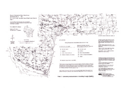
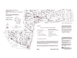
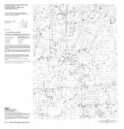
Groundwater Quality Investigation Maps of Price County, Wisconsin
Includes Plate 1: Nitrate as Nitrogen in mg/L. Plate 2: Chloride in mg/L. Plate 3: Laboratory Measurement of Alkalinity in mg/L. Plate 4: Total Hardness in mg/L. Plate 5: Laboratory Measurement of Electrical Conductivity in μmhos/cm. Plate 6: Ferrous Iron in mg/L. -
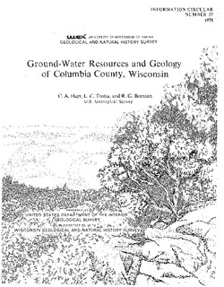
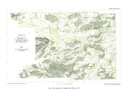
Hydrogeology and Simulation of Groundwater Flow in Columbia County, Wisconsin
The WGNHS and the U.S. Geological Survey characterized the hydrogeology and developed a groundwater flow model to assess groundwater resources in Columbia County. This report describes regionally extensive aquifers and presents several extensive datasets collected from deep wells across the county. The report also documents the construction and... -
The 2016 Groundwater Flow Model for Dane County, Wisconsin
The 2016 groundwater flow model is a three-dimensional model using state-of-the-art representation of the hydrogeology of Dane County. This report describes the model, appendices provide data, and the user's manual provides basic instructions and recommendations for running the model.-
The 2016 Groundwater Flow Model for Dane County, Wisconsin [appendices]
2016
Data: Excel spreadsheet
-
Forecasting Impacts of Extreme Precipitation Events on Wisconsin's Groundwater Levels
Open-file report; contains unpublished data that has not yet been peer-reviewed. -
Mechanisms of Groundwater Flow Across the Maquoketa Formation
Open-file report; contains unpublished data that has not yet been peer-reviewed. -
Evaluation of Groundwater Susceptibility Assessment Systems in Dane County, Wisconsin
Open-file report; contains unpublished data that has not yet been peer-reviewed. -
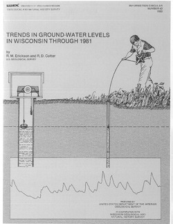
Ground-Water Studies in Wisconsin, A Progress Report
Open-file report; contains unpublished data that has not yet been peer-reviewed. -
Groundwater Quality Regulation: Existing Governmental Authority and Recommended Roles
Reprinted from Columbia Journal of Environmental Law, vol. 14, no. 1, 1989. -
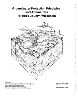
Groundwater Protection Principles and Alternatives for Rock County, Wisconsin
-
Groundwater Protection Principles and Alternatives for Rock County, Wisconsin
1985
Report: 73 p. + 3 maps (scale 1:100,000)
-
-
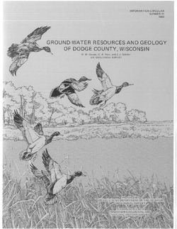
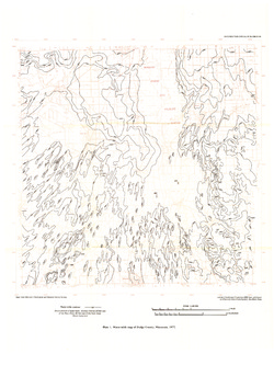
Ground-Water Resources and Geology of Dodge County, Wisconsin
-
Ground-Water Resources and Geology of Dodge County, Wisconsin
1983
Report: 34 p. + map (scale 1:125,000)
-

Publications Catalog
Wisconsin Geological and Natural History Survey