-
Groundwater Sustainability in a Humid Climate: Groundwater Pumping, Groundwater Consumption, and Land-Use Change
Open-file report; contains unpublished data that has not yet been peer-reviewed. -
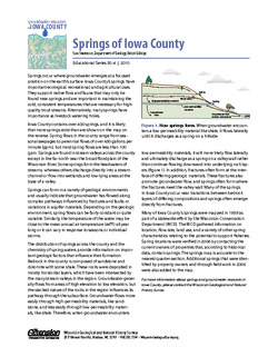
Groundwater Resources in Iowa County
This four-part series describes the results of a comprehensive inventory and assessment of Iowa County's groundwater resources. Covers water-table elevation, groundwater recharge, groundwater susceptibility, and the springs of Iowa County. -
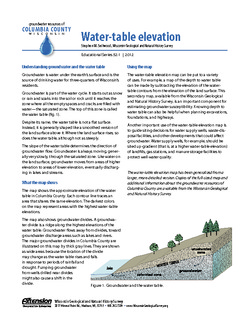
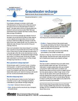
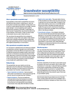
Groundwater Resources of Columbia County, Wisconsin
Three-part series describes the results of a comprehensive inventory and assessment of Columbia County's groundwater resources. Covers water-table elevation, groundwater recharge, and groundwater susceptibility. -
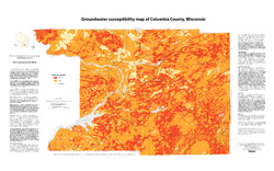
Groundwater Susceptibility Map of Columbia County, Wisconsin
Open-file report; contains unpublished data that has not yet been peer-reviewed.-
Groundwater Susceptibility Map of Columbia County, Wisconsin
2012
Map: 34.5 in x 20.5 in, scale 1:100,000
-
Groundwater Susceptibility Map of Columbia County, Wisconsin [GIS data]
2012
GIS Data: Grid files, Layer files
-
-
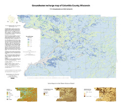
Groundwater Recharge Map of Columbia County, Wisconsin
Open-file report; contains unpublished data that has not yet been peer-reviewed.-
Groundwater Recharge Map of Columbia County, Wisconsin [GIS data]
2012
GIS Data: Grid files, Layer files
-
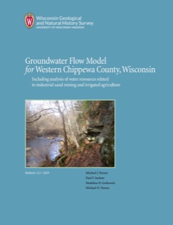
Groundwater Flow Model for Western Chippewa County
This report documents the groundwater flow model that was developed for western Chippewa County, Wisconsin. It also presents analyses that were run to evaluate how industrial sand (frac sand) mining and irrigated agriculture--might affect the water table and base flows of nearby headwater streams. -
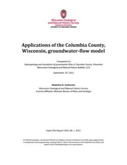
Applications of the Columbia County, Wisconsin, Groundwater-Flow Model
Computerized groundwater-flow models provide scientific analysis of water resources. Since its initial development in 2014, the Columbia County groundwater-flow model has been used to respond to requests for information about specific groundwater and land use issues. This companion report to the Hydrogeology and simulation of groundwater flow in Columbia... -
Hydrogeology and Simulation of Groundwater Flow in Columbia County, Wisconsin
The WGNHS and the U.S. Geological Survey characterized the hydrogeology and developed a groundwater flow model to assess groundwater resources in Columbia County. This report describes regionally extensive aquifers and presents several extensive datasets collected from deep wells across the county. The report also documents the construction and... -
Forecasting Impacts of Extreme Precipitation Events on Wisconsin's Groundwater Levels
Open-file report; contains unpublished data that has not yet been peer-reviewed. -
Groundwater Data Compilation for the Geneva Lake, Wisconsin, Area
Open-file report; contains unpublished data that has not yet been peer-reviewed.-
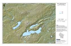
Regional Overview, Geneva Lake Area, Walworth County, Wisconsin [plate 1]
2006
Map: 11 in x 17 in, scale 1:100,000
-
Bedrock Geology, Geneva Lake Area, Walworth County, Wisconsin [plate 2]
2006
Map: 11 in x 17 in, scale 1:100,000
-
Elevation of Bedrock Surface, Geneva Lake Area, Walworth County, Wisconsin [plate 3]
2006
Map: 11 in x 17 in, scale 1:100,000
-
Depth to Bedrock (Thickness of Surficial Materials), Geneva Lake Area, Walworth County, Wisconsin [plate 4]
2006
Map: 11 in x 17 in, scale 1:100,000
-
Water Table Elevation, Geneva Lake Area, Walworth County, Wisconsin [plate 5]
2006
Map: 11 in x 17 in, scale 1:100,000
-
Evaluation of Groundwater Flow Models Used to Simulate the Effects of Proposed Mining on the Groundwater-Surface Water System in the Vicinity of Crandon, Forest County, Wisconsin
Open-file report; contains unpublished data that has not yet been peer-reviewed. -
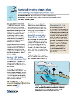
Municipal Drinking Water Safety: The Link Between Groundwater, Pathogens, and Public Health
Most Wisconsin municipalities already disinfect their water supply. For those that don't, this publication describes how viruses from untreated sewage can contaminate groundwater, causing acute gastrointestinal illness. It also identifies available technology for treating water. -
Geologic and Geochemical Controls on Arsenic in Groundwater in Northeastern Wisconsin
Open-file report; contains unpublished data that has not yet been peer-reviewed. -
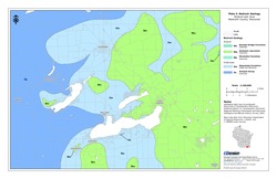
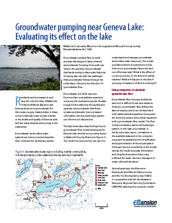
Groundwater Pumping Near Geneva Lake: Evaluating Its Effect on the Lake
A groundwater flow model developed for Geneva Lake and the surrounding region helps answer questions about flow into and out of the lake, and projects scenarios given increased pumping rates and potential long-term changes in climate. -
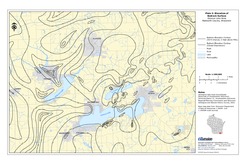
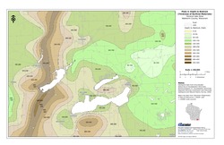
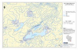
Evaluation of Groundwater Pumping to Reduce the Level of Crystal Lake in Columbia County, Wisconsin
Open-file report; contains unpublished data that has not yet been peer-reviewed.-
Evaluation of Groundwater Pumping to Reduce the Level of Crystal Lake, Columbia County, Wisconsin [appendices]
2012
Data: Multiple PDF files + data files (comma-delimited)
-
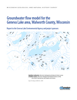
Groundwater Flow Model for the Geneva Lake Area, Walworth County, Wisconsin
Open-file report; contains unpublished data that has not yet been peer-reviewed. -
Report on the Preliminary Investigation of Arsenic in Groundwater near Lake Geneva, Wisconsin
Open-file report; contains unpublished data that has not yet been peer-reviewed.-
Report on the Preliminary Investigation of Arsenic in Groundwater Near Lake Geneva, Wisconsin
2000
Report: 19 p. + 5 color pages
-
-
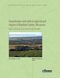
Groundwater and Wells in Agricultural Regions of Bayfield County, Wisconsin: Report to the Large-Scale Livestock Study Committee
Information and recommendations concerning groundwater and water supply wells in two agricultural regions in Bayfield County, Wisconsin. Includes a report, a water-table map, a set of four cross sections, and GIS data. (Replaces WOFR2015-02.)-
Groundwater and Wells in Agricultural Regions of Bayfield County, Wisconsin [GIS data]
2016
GIS Data: Shapefiles, metadata
-
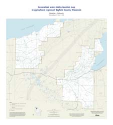
Generalized Water-Table Elevation Map in Agricultural Regions of Bayfield County, Wisconsin [plate 1]
2016
Map: 27 in x 30 in, scale 1:100,000
-
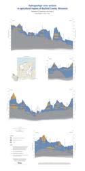
Hydrogeologic Cross Sections in Agricultural Regions of Bayfield County, Wisconsin [plate 2]
2016
Plate: 20.25 in x 40.25 in, scale 1:100,000
-
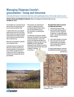
Managing Chippewa County's Groundwater--Today and Tomorrow: Evaluating the Impacts of Industrial Sand Mines and Irrigated Agriculture on the County's Water Resources
In 2012, Chippewa County commissioned the Wisconsin Geological Survey and the U.S. Geological Survey to conduct a 5-year study of the groundwater resources in the western part of the county. This 4-page publication describes the study and the computer models being developed for it.

Publications Catalog
Wisconsin Geological and Natural History Survey