-
Wisconsin Groundwater-Level Monitoring Network Improvements, 2018-2021
This report documents work completed as part of a grant from the U.S. Geological Survey’s National Groundwater Monitoring Network (NGWMN) program. It provides an overview of the Wisconsin Groundwater-Level Monitoring Network (WGLMN) and provides detailed description of well evaluation and repair activities, and drilling of new monitoring wells across the... -
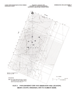
Hydrogeology and Ground-Water Use and Quality, Brown County, Wisconsin
-
Hydrogeology and Ground-Water Use and Quality, Brown County, Wisconsin
1986
Report: 42 p. + maps (scale 1:100,000)
-
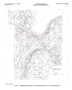
Potentiometric Surface of Upper Aquifer, Brown County, Wisconsin, 1980 [plate 1]
1986
Map: Scale 1:100,000
-
-
Drawdown in the Northeast Groundwater Management Area (Brown, Outagamie, and Calumet Counties, Wisconsin)
Open-file report; contains unpublished data that has not yet been peer-reviewed. -
Assessing Seasonal Variations in Recharge and Water Quality in the Silurian Aquifer in Areas with Thicker Soil Cover
Documentation of variations in groundwater levels and selected water-quality parameters in four wells completed in the Silurian dolomite aquifer in northeast Wisconsin (Brown, Calumet, Kewaunee, and Manitowoc Counties).-
Assessing Seasonal Variations in Recharge and Water Quality in the Silurian Aquifer in Areas with Thicker Soil Cover
2019
Report: 38 p. + appendix (4 oversized pages)
-
-
Depth to Silurian Bedrock in Eastern Wisconsin
Silurian-aged bedrock in eastern Wisconsin is shallow, fractured, and contains groundwater that is susceptible to surface water contamination. Revisions to Wisconsin state rules ATCP50 and NR151 to regulate manure spreading over this Silurian-aged bedrock create the need for a depth-to-bedrock map of eastern WI. The Wisconsin Geological and Natural...-
Depth to Silurian Bedrock in Eastern Wisconsin [dataset 1]
2025
GIS Data: File geodatabase, metadata
-
-
Stratigraphic Controls on Distribution of Hydraulic Conductivity in Carbonate Aquifers
Open-file report; contains unpublished data that has not yet been peer-reviewed. -
Merging Pleistocene Lithostratigraphy with Geotechnical and Hydrogeologic Data--Examples from Eastern Wisconsin
Open-file report; contains unpublished data that has not yet been peer-reviewed. -
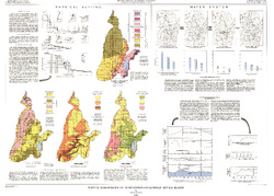
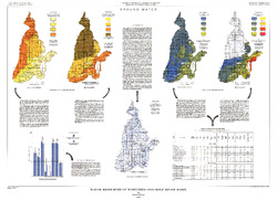
Water Resources of Wisconsin - Rock-Fox River Basin, Hydrologic Investigations Atlas HA-360
-
Water Resources of Wisconsin, Fox-Wolf River Basin: Plate 1, Physical Setting, Water System
1968
Plate: 38 in x 27.25 in
-
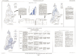
Water Resources of Wisconsin, Fox-Wolf River Basin: Plate 2, Ground Water
1968
Plate: 38 in x 27.25 in
-

Publications Catalog
Wisconsin Geological and Natural History Survey