-
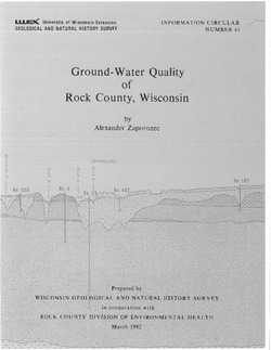
Ground-Water Quality of Rock County, Wisconsin
-
Ground-Water Quality of Rock County, Wisconsin
1982
Report: 92 p. + cross section and maps (scale 1:100,000)
-
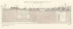
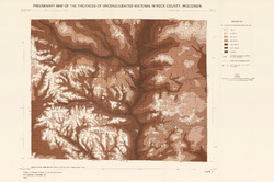
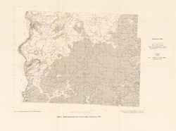
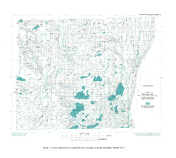
Preliminary Map of the Thickness of Unconsolidated Material in Rock County, Wisconsin [plate 2]
1982
Map: Scale 1:100,000
-
-
Trends in Ground-Water Levels in Wisconsin, 1967-71
Supplement to Information Circular 9, Trends in Ground-Water Levels in Wisconsin through 1966. -
Ground-Water Resources and Geology of Dodge County, Wisconsin
-
Ground-Water Resources and Geology of Dodge County, Wisconsin
1983
Report: 34 p. + map (scale 1:125,000)
-
-
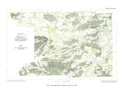
Ground-Water Resources and Geology of Walworth County, Wisconsin
-
Ground-Water Resources and Geology of Walworth County, Wisconsin
1976
Report: 45 p. + map (scale 1:125,000)
-
-
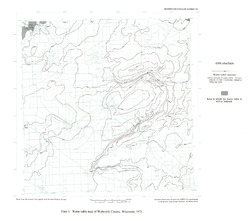
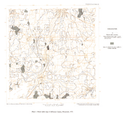
Ground-Water Resources and Geology of Jefferson County, Wisconsin
-
Ground-Water Resources and Geology of Jefferson County, Wisconsin
1976
Report: 31 p. + map (scale 1 in = 2 miles)
-
-
Ground-Water Resources and Geology of St. Croix County, Wisconsin
-
Ground-Water Resources and Geology of St. Croix County, Wisconsin
1976
Report: 30 p. + map (scale 1:125,000)
-
-
Hydrogeology and Ground-Water Use and Quality, Brown County, Wisconsin
-
Hydrogeology and Ground-Water Use and Quality, Brown County, Wisconsin
1986
Report: 42 p. + maps (scale 1:100,000)
-
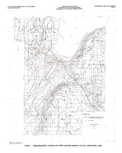
Potentiometric Surface of Upper Aquifer, Brown County, Wisconsin, 1980 [plate 1]
1986
Map: Scale 1:100,000
-
-
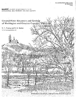
Ground-Water Resources and Geology of Washington and Ozaukee Counties, Wisconsin
-
Ground-Water Resources and Geology of Washington and Ozaukee Counties, Wisconsin
1980
Report: 37 p. + map and cross sections (scale 1:125,000)
-
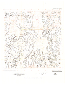
Water-Table Map of Washington and Ozaukee Counties, Wisconsin, Winter 1976-77
1980
Map: Scale 1:125,000
-

Publications Catalog
Wisconsin Geological and Natural History Survey