-
Quaternary Geology of Waupaca County, Wisconsin
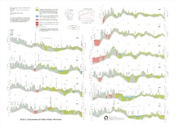
The Quaternary geologic map of Waupaca County, Wisconsin, provides details about the surficial sediment and landscapes that were formed underneath and adjacent to the Laurentide Ice Sheet during the late Wisconsin Glaciation (ca. 20,000 years before present). These landscapes include lowlands underlain by glacial and postglacial lake sediment, uplands...-
Geologic Log Data for Quaternary Geology of Waupaca County, Wisconsin [dataset 1]
2023
Data: Excel spreadsheet
-
GIS Data for Quaternary Geology of Waupaca County, Wisconsin [dataset 2]
2023
GIS Data: GeMS file geodatabase, shapefiles, geopackage, metadata
-
Geology of Sauk County, Wisconsin
Geologic history and description of Sauk County, the home of Devils Lake and Parfreys Glen. Includes four-color bedrock map and cross sections. Map and cross sections are folded.-
Geology of Sauk County, Wisconsin
1990
Report: 68 p. + map (24.5 in x 34.5 in, scale 1:100,000) and Cross Sections (24 in x 38 in)
-
-
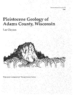
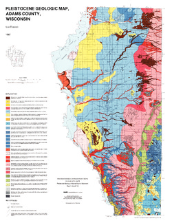
Pleistocene Geology of Adams County, Wisconsin
-
Pleistocene Geology of Adams County, Wisconsin
1987
Report: 14 p. + map and cross sections (Scale 1:100,000)
-
-
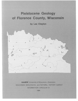
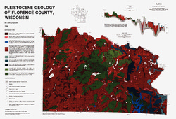
Pleistocene Geology of Florence County, Wisconsin
-
Pleistocene Geology of Florence County, Wisconsin (version 2) [GIS data]
1986
GIS Data: GeMS file geodatabase and metadata; supersedes previous coverage format
-
Pleistocene Geology of the Superior Region, Wisconsin
-
Pleistocene Geology of the Superior Region, Wisconsin [GIS data]
1985
GIS Data: GeMS file geodatabase, metadata
-
Pleistocene Geology of the Superior Region, Wisconsin [plate 1]
1985
Map: 36 in x 28 in, scale 1:250,000
-
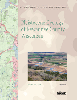
Pleistocene Geology of Kewaunee County, Wisconsin
Kewaunee County, at the southern end of the Door Peninsula, was overrun by glaciers many times. Author Lee Clayton describes the county's complex glacial geology, from the surface soil down to solid rock. The accompanying map shows the placement of glacial sediments as well as glacial and post-glacial stream and lake sediments.-
Pleistocene Geology of Kewaunee County, Wisconsin [plate 1]
2013
Map: Scale 1:100,000, 21.5 in x 18 in
-
Pleistocene Geology of Waukesha County, Wisconsin
-
Pleistocene Geology of Waukesha County, Wisconsin
2001
Report: 33 p. + map and cross sections (scale 1:100,000)
-
Pleistocene Geology of Waukesha County, Wisconsin (version 2) [GIS data]
2001
GIS Data: GeMS file geodatabase and metadata, supersedes previous coverage format (DI version 1)
-
Pleistocene Geologic Cross Sections of Waukesha County, Wisconsin [plate 2]
2001
Plate: Scale 1:200,000
-
-
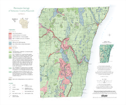
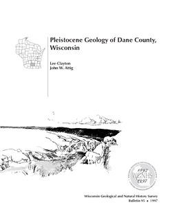
Pleistocene Geology of Dane County, Wisconsin
Description of the geologic history of Dane County. The preface points out the significance of glacial landscape research at WGNHS over the past century. Many pictures and diagrams and a four-color map and cross sections show the striking differences between glaciated and unglaciated regions of the county. Map and cross sections are folded.-
Pleistocene Geology of Dane County, Wisconsin
1997
Report: 64 p. + map and cross sections (scale: 1:100,000)
-
Pleistocene Geology of Dane County, Wisconsin (version 2) [GIS data]
1997
GIS Data: GeMS file geodatabase and metadata; supersedes previous coverage format
-
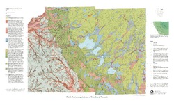
Pleistocene Geologic Map of Dane County, Wisconsin [plate 1]
1997
Map: Scale 1:100,000, 39 in x 24 in
-

Publications Catalog
Wisconsin Geological and Natural History Survey