-
Geologic Map of the Dells of the Wisconsin River State Natural Area
The geologic map of the Dells of the Wisconsin River State Natural Area provides a detailed look at the bedrock geology present at one of Wisconsin's most cherished natural sites. The map and accompanying report present the Paleozoic bedrock stratigraphy of the visible formations, as well as an interpretation of their depositional environment. This map...-
Geologic Map of the Dells of the Wisconsin River State Natural Area
2023
Map: 30 x 36 in, scale 1:12,000
-
-
Elevation contours of the Precambrian surface of south-central Wisconsin
Elevation contour data and an accompanying report provide an updated interpretation of the elevation of the top of Precambrian bedrock in south-central Wisconsin. The elevation surface was developed from geologic and geophysical data, and provides new detail on the entrenched bedrock valleys that were incised into the north and south ranges of the Baraboo...-
Elevation contours of the Precambrian surface of south-central Wisconsin [dataset 1]
2022
GIS Data: File geodatabase, metadata
-
-
A Brief Description of the Geology of Juneau County
Open-file report; contains unpublished data that has not yet been peer-reviewed. -
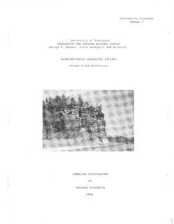
Cambrian Stratigraphy in Western Wisconsin
Notes accompanying a 1966 conference field trip covering geology between Chippewa Falls and Trempealeau and between Elroy and Portage. Routes shown. -
The Wolf River Batholith and Baraboo Interval in Central Wisconsin
Prepared for 32nd Annual Meeting Institute on Lake Superior Geology.

Publications Catalog
Wisconsin Geological and Natural History Survey