-
Characterization of Groundwater Resources in the Chequamegon-Nicolet National Forest, Wisconsin
Results of a comprehensive review and analysis of groundwater resources in the Chequamegon-Nicolet National Forest. The study was divided by location into four reports corresponding to the four main land units: Medford, Nicolet, Park Falls, and Washburn/Great Divide. Each report describes the results of the inventory, modeling, and analysis.-
Characterization of Groundwater Resources in the Chequamegon-Nicolet National Forest, Wisconsin: Medford Unit [GIS data]
2018
GIS Data: Geodatabase, metadata
-
Characterization of Groundwater Resources in the Chequamegon-Nicolet National Forest, Wisconsin: Medford Unit [plates]
2018
Map: 10 maps, 11 in x 17 in
-
Characterization of Groundwater Resources in the Chequamegon-Nicolet National Forest, Wisconsin: Nicolet Unit [GIS data]
2018
GIS Data: Geodatabase, metadata
-
Characterization of Groundwater Resources in the Chequamegon-Nicolet National Forest, Wisconsin: Nicolet Unit [plates]
2018
Map: 20 maps (10 each, northern and southern Nicolet Unit), 11 in x 17 in
-
Characterization of Groundwater Resources in the Chequamegon-Nicolet National Forest, Wisconsin: Park Falls Unit [GIS data]
2018
GIS Data: Geodatabase, metadata
-
Characterization of Groundwater Resources in the Chequamegon-Nicolet National Forest, Wisconsin: Park Falls Unit [plates]
2018
Map: 10 maps, 11 in x 17 in
- 2 more...
-
Compilation of Outcrops of Precambrian Rock in Northern Oconto County and Adjacent Segments of Forest, Langlade, Marinette, and Menominee Counties, Northeastern Wisconsin
Open-file report; contains unpublished data that has not yet been peer-reviewed. -
Bouguer Gravity Anomaly Map of Northeastern Wisconsin
Open-file report; contains unpublished data that has not yet been peer-reviewed. -
Glacial and Related Deposits of Langlade County, Wisconsin
-
Glacial and Related Deposits of Langlade County, Wisconsin
1986
Report: 30 p. + map (scale 1:100,000)
-
Pleistocene Geology of Langlade County, Wisconsin (version 2) [GIS data]
1986
GIS Data: GeMS file geodatabase and metadata; supersedes previous coverage format
-
-
Reconnoissance [sic] Soil Survey of North Eastern Wisconsin
-
Reconnoissance [sic] Soil Survey of North Eastern Wisconsin
1916
Report: 87 p. + maps (scale 1 in = 3 miles)
-
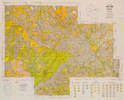
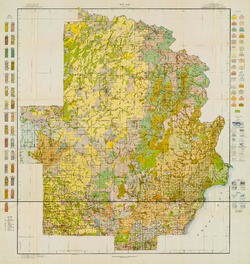
Soil Map: Wisconsin, Reconnoissance [sic] Survey - Northeastern Wisconsin Sheet
1916
Map: Scale 1 in = 3 miles
-
-
Preliminary Report on the Soils and Agricultural Conditions of North Central Wisconsin
-
Preliminary Report on the Soils and Agricultural Conditions of North Central Wisconsin (2nd edition)
1903
Report: 72 p. + map (scale 1 in = 3 miles)
-

Publications Catalog
Wisconsin Geological and Natural History Survey