-
Geologic Summary of the Ashland 2° Quadrangle
Open-file report; contains unpublished data that has not yet been peer-reviewed. -
Structural Geology and Mining Methods on the Gogebic Range
Open-file report; contains unpublished data that has not yet been peer-reviewed. -
Exploration Methods on the Gogebic Range
Open-file report; contains unpublished data that has not yet been peer-reviewed. -
Geology of the Baraboo Ganister Deposits
Open-file report; contains unpublished data that has not yet been peer-reviewed. -
Recent Developments in the Geology of the Gogebic Range
Open-file report; contains unpublished data that has not yet been peer-reviewed. -
Geology of the Baraboo District, Wisconsin: A Description and Field Guide Incorporating Structural Analysis of the Precambrian Rocks and Sedimentologic Studies of the Paleozoic Strata
With summaries: Glacial Geology, R.F. Black; and Plant Ecology of the Baraboo Hills, J.H. Zimmerman.-
Geologic Map of the Baraboo District, Columbia and Sauk Counties, Wisconsin [plate 1]
1970
Map: Scale 1:62,500
-
Map of Main Phase Minor Structures in the Baraboo Syncline, Columbia and Sauk Counties, Wisconsin [plate 3]
1970
Map: large-format photocopy
-
Structural Map of the Baraboo Syncline, Columbia and Sauk Counties, Wisconsin [plate 4]
1970
Map: large-format photocopy
-
Structural Data: Lower Hemisphere Equal-Area Stereoplots of Structural Elements in the Baraboo Quartzite [plate 5]
1970
Plate: large-format photocopy
-
Orientations of Cross Stratification in Cambrian and Ordovician Sandstones [plate 7]
1970
Map: large-format photocopy
-
Three Billion Years of Geology
Prepared for 47th Annual Tri-State Geology Conference, Black River Falls, Wisconsin. -
Upper Mississippi Valley Base-Metal District
Companion volume to Information Circular 16 (third edition). Prepared for 24th Annual Meeting, Institute on Lake Superior Geology. -
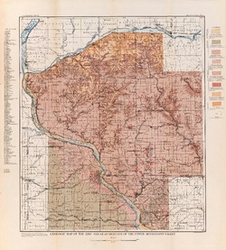
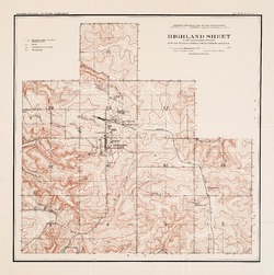
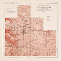
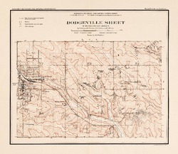
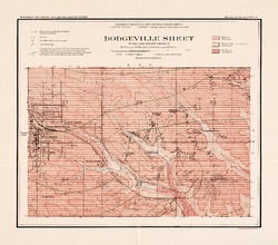
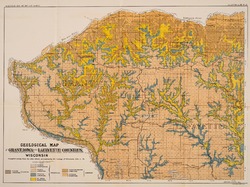
Report on Lead and Zinc Deposits of Wisconsin, with an Atlas of Detailed Geologic and Topographic Maps of Southwestern Wisconsin
-
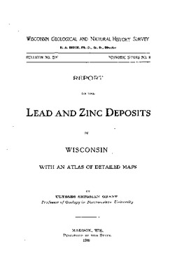
Report on the Lead and Zinc Deposits of Wisconsin With an Atlas of Detailed Maps
1906
Report: 100 p. + 6 maps (scale 4 I = 1 mile)
-
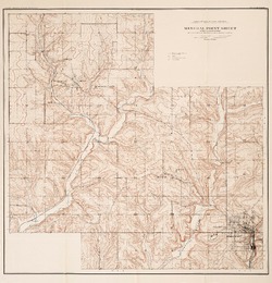
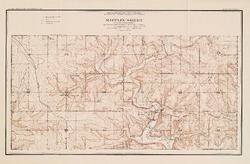
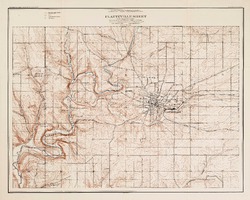
Mineral Point Sheet of the Lead and Zinc District [topography] [plate 5]
1906
Map: Scale 4 in = 1 mile
-
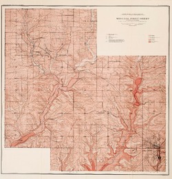
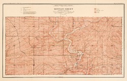
Platteville Sheet of the Lead and Zinc District [topography] [plate 9]
1906
Map: Scale 4 in = 1 mile
- 16 more...
-
-
Preliminary Report on the Copper-Bearing Rocks of Douglas County, Wisconsin
-
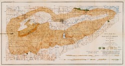
Geological Map of Part of the St. Croix Copper Range, in Douglas Co., Wis. [plate 7]
1900
Map: Scale 1 in = 4 miles
-
Geological Map of the Western Part of the Douglas Copper Range, in Douglas Co., Wis. [plate 8]
1900
Map: Scale 1 in = 4 miles
-
Geological Map of the Eastern Part of the Douglas Copper Range, in Douglas Co., Wis. [plate 9]
1900
Map: Scale 1 in = 4 miles
-
Geological Map of Part of the Minong Copper Range in Washburn, Douglas and Bayfield Counties, Wis. [plate 13]
1900
Map: Scale 1 in = 4 miles
-
Mineral and Water Resources of Wisconsin
Report prepared by the U.S. Geological Survey in collaboration with the Wisconsin Geological and Natural History Survey. Printed at the request of Committee on Interior and Insular Affairs, U.S. Senate.

Publications Catalog
Wisconsin Geological and Natural History Survey