-
Aggregate Resources of the Sinnipee Group in Eastern and Southern Wisconsin
Open-file report; contains unpublished data that has not yet been peer-reviewed. -
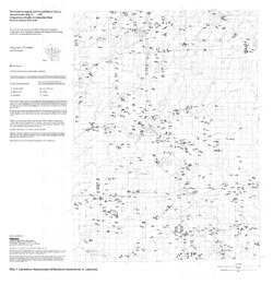
Stratigraphic Controls on Distribution of Hydraulic Conductivity in Carbonate Aquifers
Open-file report; contains unpublished data that has not yet been peer-reviewed. -
Quaternary Geology in the Vicinity of the Bend Deposit, Taylor County, Wisconsin
Open-file report; contains unpublished data that has not yet been peer-reviewed. -
Hydrogeology of Dane County, Wisconsin
Open-file report; contains unpublished data that has not yet been peer-reviewed.-
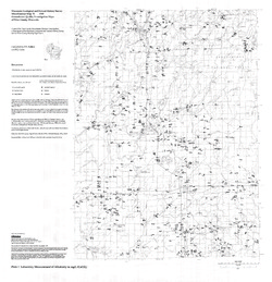
Water-Table Elevation and Unlithified Aquifers in Dane County, Wisconsin [plate 1]
1999
Map: 34.5 in x 25.5 in, scale 1:100,000
-
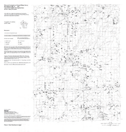
Aquifer Contamination Susceptibility Map of Dane County, Wisconsin [plate 2]
1999
Map: 34.5 in x 25.5 in, scale 1:100,000
-
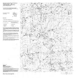
Data from Slug Tests in the Silurian Dolomite Using a Short-Interval Straddle-Packer Assemblage
Open-file report; contains unpublished data that has not yet been peer-reviewed.-
Data from Slug Tests in the Silurian Dolomite Using a Short-Interval Straddle-Packer Assemblage
1999
Report: 23p. + 1 data
-
-
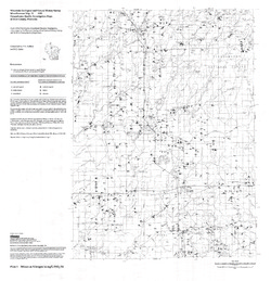
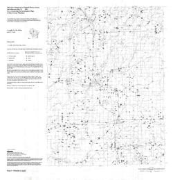
Groundwater Quality Investigation Maps of Price County, Wisconsin
Includes Plate 1: Nitrate as Nitrogen in mg/L. Plate 2: Chloride in mg/L. Plate 3: Laboratory Measurement of Alkalinity in mg/L. Plate 4: Total Hardness in mg/L. Plate 5: Laboratory Measurement of Electrical Conductivity in μmhos/cm. Plate 6: Ferrous Iron in mg/L. -
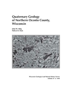
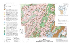
Quaternary Geology of Northern Oconto County, Wisconsin
-
Quaternary Geology of Northern Oconto County, Wisconsin (version 2) [GIS data]
1999
GIS Data: GeMS file geodatabase and metadata, supersedes previous coverage format (DI version 1)
-
Distribution and Habitat Descriptions of Wisconsin Lake Plants
A catalog that features technical information and detailed drawings for more than 100 species of lake plants that range from the rare to the commonplace. Wire bound with plastic cover.

Publications Catalog
Wisconsin Geological and Natural History Survey