-
Wisconsin Groundwater-Level Monitoring Network Improvements, 2018-2021
This report documents work completed as part of a grant from the U.S. Geological Survey’s National Groundwater Monitoring Network (NGWMN) program. It provides an overview of the Wisconsin Groundwater-Level Monitoring Network (WGLMN) and provides detailed description of well evaluation and repair activities, and drilling of new monitoring wells across the... -
Wisconsin Groundwater-Level Monitoring Network Improvement
The Wisconsin Groundwater-Level Monitoring Network consists of 93 wells and 2 spring gaging stations. This report documents work performed on seven of the wells between August 1, 2016 and July 31, 2017, and appendices provide historical reference documents. -
Distributed Temperature Sensing (DTS) as a Hydrostratigraphic Characterization Tool
Open-file report; contains unpublished data that has not yet been peer-reviewed. -
Merging Pleistocene Lithostratigraphy with Geotechnical and Hydrogeologic Data--Examples from Eastern Wisconsin
Open-file report; contains unpublished data that has not yet been peer-reviewed. -
Geology of Wisconsin - Outcrop Descriptions
These descriptions illustrate various geologic formations, features, and characteristics. Individual descriptions are one to ten pages long, and include a map with specific location, a description of geologic features, and a discussion of the geologic significance. -
A Subsurface Study of the St. Peter Sandstone in Southern and Eastern Wisconsin
-
A Subsurface Study of the St. Peter Sandstone in Southern and Eastern Wisconsin
1985
Report: 26 p. + maps (scale 1:750,000)
-
-
Pleistocene Geology of Southern Wisconsin
Field trip guide with special papers by R.F. Black, N.K. Bleuer, F.D. Hole, N.P. Lasca, and L.J. Maher, Jr., 1970, 175 p. -
Geoscience Wisconsin Volume 18
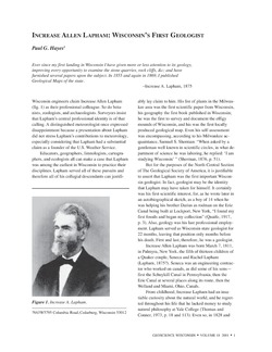
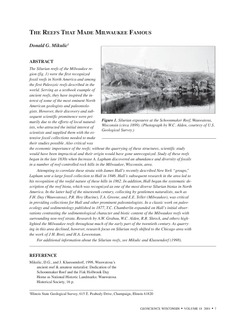
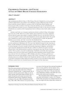
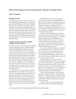
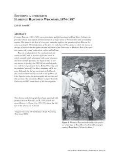
History of Wisconsin Geologists -
Geoscience Wisconsin Volume 07
Late Pleistocene History of Southeastern Wisconsin-
Geoscience Wisconsin, Volume 7: Late Pleistocene History of Southeastern Wisconsin
1983
Journal: 111 p.
-
-
Atlas of the Geological Survey of Wisconsin
Collection of most of the plates accompanying Chamberlin's four-volume Geology of Wisconsin: Survey of 1873-1879.-
Atlas of the Geological Survey of Wisconsin: General Geological Map of Wisconsin [plate 1]
1882
Map: Scale 1 in = 15 miles, 25.5 in x 30.3 in
-
Atlas of the Geological Survey of Wisconsin: General Map of Quaternary Formations [plate 2]
1882
Map: 28.2 in x 32.4 in
-
Atlas of the Geological Survey of Wisconsin: General Map of Native Vegetation [plate 2A]
1882
Map: 28.2 in x 32.4 in,
-
Atlas of the Geological Survey of Wisconsin: General Map of Soils [plate 2B]
1882
Map: 28.2 in x 32.5 in
-
Atlas of the Geological Survey of Wisconsin: Map of Rainfall and Temperature [plate 2C]
1882
Map: 27.7 in x 32.5 in
-
Atlas of the Geological Survey of Wisconsin: Maps of Subsoils and Native Vegetation of Eastern Wisconsin [plate 3]
1877
Map: 27.82 in x 32.17 in, scale 1 in = 12 miles
-
Atlas of the Geological Survey of Wisconsin: Maps of Topography and Quaternary Formations of Eastern Wisconsin [plate 4]
1877
Map: 27.83 in x 32.06 in, scale 1 in = 12 miles
-
Atlas of the Geological Survey of Wisconsin: Geology and Topography of the Lead Region [plate 5]
1877
Map: 27.68 in x 32.18 in
-
Atlas of the Geological Survey of Wisconsin: Geology and Topography of the Lead Region [plate 6]
1877
Map: 23.98 in x 28.94 in
-
Atlas of the Geological Survey of Wisconsin: Geology and Topography of the Lead Region [plate 8]
1877
Map: 24.03 in x 28.38 in
- 24 more...
-
-
Late Glacial History and Environmental Geology of Southeastern Wisconsin, Road Log and Geological Stop Descriptions
Companion volume to Geoscience Wisconsin, vol. 7. Prepared for 17th Annual Meeting of Geological Society of America.

Publications Catalog
Wisconsin Geological and Natural History Survey