-
The Clays and Clay Industries of Wisconsin
Bulletin is titled Part 1; however, Part 2 was never published. -
On the Building and Ornamental Stones of Wisconsin
-
Map of Wisconsin Showing Location of Quarries [plate 1]
1898
Map: 16.2 in x 20.7 in, scale 1 in = 20 miles
-
Preliminary Report on the Copper-Bearing Rocks of Douglas County, Wisconsin
-
Geological Map of Part of the St. Croix Copper Range, in Douglas Co., Wis. [plate 7]
1900
Map: Scale 1 in = 4 miles
-
Geological Map of the Western Part of the Douglas Copper Range, in Douglas Co., Wis. [plate 8]
1900
Map: Scale 1 in = 4 miles
-
Geological Map of the Eastern Part of the Douglas Copper Range, in Douglas Co., Wis. [plate 9]
1900
Map: Scale 1 in = 4 miles
-
Geological Map of Part of the Minong Copper Range in Washburn, Douglas and Bayfield Counties, Wis. [plate 13]
1900
Map: Scale 1 in = 4 miles
-
Geology of La Crosse County, Wisconsin
-
Geology of La Crosse County, Wisconsin
2003
Report: 33 p. + map and cross sections (scale 1:100,000)
-
Geology of La Crosse County, Wisconsin (version 2) [GIS Data]
2003
GIS Data: GeMS file geodatabase and metadata, supersedes previous coverage format (DI version 1)
-
-
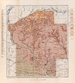
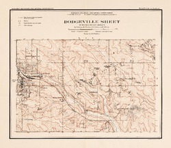
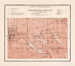
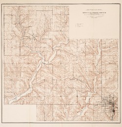
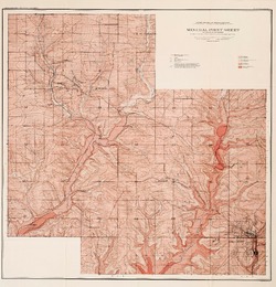
Report on Lead and Zinc Deposits of Wisconsin, with an Atlas of Detailed Geologic and Topographic Maps of Southwestern Wisconsin
-
Report on the Lead and Zinc Deposits of Wisconsin With an Atlas of Detailed Maps
1906
Report: 100 p. + 6 maps (scale 4 I = 1 mile)
-
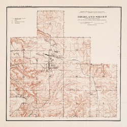
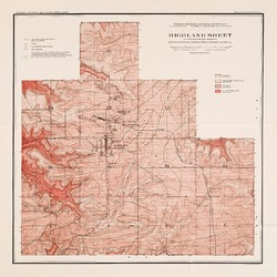
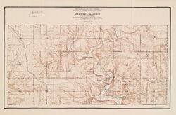
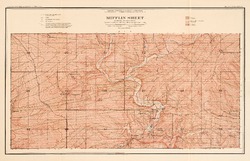
Mineral Point Sheet of the Lead and Zinc District [topography] [plate 5]
1906
Map: Scale 4 in = 1 mile
-
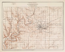
Platteville Sheet of the Lead and Zinc District [topography] [plate 9]
1906
Map: Scale 4 in = 1 mile
- 16 more...
-

Publications Catalog
Wisconsin Geological and Natural History Survey