-
Groundwater Quality Investigation of Chippewa County, Wisconsin
Includes Plate 1: Sample Numbers. Plate 2: Nitrate–Nitrogen in mg/L. Plate 3: Chloride in mg/L. Plate 4: Laboratory Measurement of pH. Plate 5: Total Hardness in mg/L. Plate 6: Conductivity in µmhos/cm. Plate 7: Ferrous iron in mg/L.-
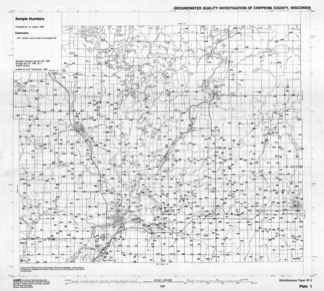
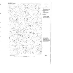
Groundwater Quality Investigation of Chippewa County, Wisconsin: Sample Numbers [plate 1]
1987
Map: 25.9 in x 23.3 in, scale 1:100,000
-
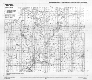
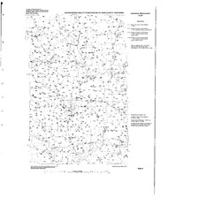
Groundwater Quality Investigation of Chippewa County, Wisconsin: Nitrate-Nitrogen in mg/L [plate 2]
1987
Map: 26.7 in x 23.3 in, scale 1:100,000
-
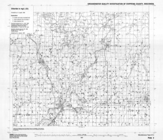
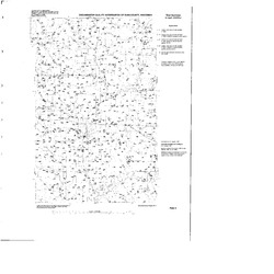
Groundwater Quality Investigation of Chippewa County, Wisconsin: Chloride in mg/L [plate 3]
1987
Map: 27 in x 23.3 in, scale 1:100,000
-
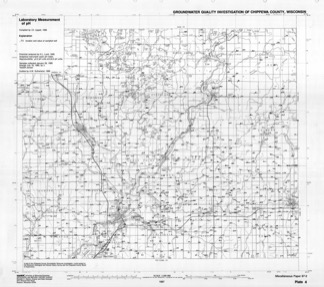
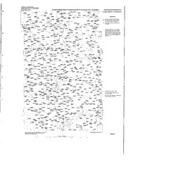
Groundwater Quality Investigation of Chippewa County, Wisconsin: Laboratory Measurement of pH [plate 4]
1987
Map: 26.7 in x 23.7 in, scale 1:100,000
-
Groundwater Quality Investigation of Chippewa County, Wisconsin: Total Hardness in mg/L [plate 5]
1987
Map: 26.9 in x 23.4 in, scale 1:100,000
-
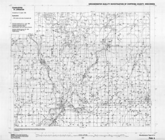
Groundwater Quality Investigation of Chippewa County, Wisconsin: Conductivity in ?mhos/cm [plate 6]
1987
Map: 27.4 in x 23.3 in, scale 1:100,000
-
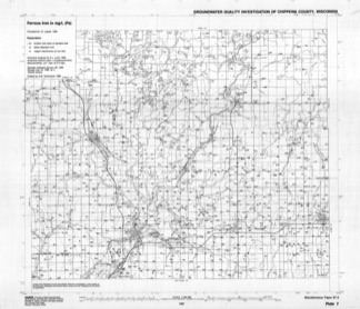
Groundwater Quality Investigation of Chippewa County, Wisconsin: Ferrous Iron in mg/L [plate 7]
1987
Map: 27.4 in x 23.6 in, scale 1:100,000
-
-
Groundwater Quality Investigation of Dunn County, Wisconsin
Includes Plate 1: Sample Numbers. Plate 2: Nitrate–N in mg/L. Plate 3: Chloride in mg/L. Plate 4: Laboratory Measurement of pH. Plate 5: Total Hardness in mg/L. Plate 6: Total Hardness/Conductivity. Plate 7: Ferrous iron in mg/L.-
Groundwater Quality Investigation of Dunn County, Wisconsin: Sample Numbers [plate 1]
1987
Map: 34 in x 34 in, scale 1:100,000
-
Groundwater Quality Investigation of Dunn County, Wisconsin: Nitrate-Nitrogen in mg/L [plate 2]
1987
Map: 34 in x 34 in, scale 1:100,000
-
Groundwater Quality Investigation of Dunn County, Wisconsin: Chloride in mg/L [plate 3]
1987
Map: 34 in x 34 in, scale 1:100,000
-
Groundwater Quality Investigation of Dunn County, Wisconsin: Laboratory Measurement of pH [plate 4]
1987
Map: 34 in x 34 in, scale 1:100,000
-
Groundwater Quality Investigation of Dunn County, Wisconsin: Total Hardness in mg/L [plate 5]
1987
Map: 34 in x 34 in, scale 1:100,000
-
Groundwater Quality Investigation of Dunn County, Wisconsin: Total Hardness/Conductivity in mg/L, in ?mhos/cm [plate 6]
1987
Map: 34 in x 34 in, scale 1:100,000
-
Groundwater Quality Investigation of Dunn County, Wisconsin: Ferrous Iron in mg/L [plate 7]
1987
Map: 34 in x 34 in, scale 1:100,000
-
-
Lower Proterozoic Volcanic Rocks and Their Setting in the Southern Lake Superior District
Reprinted from Geological Society of America Memoir 160. -
Irrigable Lands Inventory--Phase I Groundwater and Related Information
This paper contains hydrogeologic information for the Golden Sands Resource Conservation and Development Area in central Wisconsin. The set of maps includes water-table elevation maps for the following counties: Adams, Jackson, Juneau, Marathon, Marquette, Monroe, Portage, Waupaca, Waushara, and Wood (scale 1:126,720). It also includes a regional aquifer...-
Irrigable Lands Inventory - Phase I Groundwater and Related Information
1981
Report: 13 p. + 11 maps (scale 1:126,720 and 1:500,000)
- 2 more...
-
-
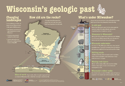
Wisconsin's Geologic Past
At different times in the past three billion years, mountains and volcanoes stood tall in Wisconsin, shallow seas covered much of the state, and glaciers plowed across the landscape. This educational poster vividly brings our past to life. Ideal for classrooms. Size: 27 x 39 inches.

Publications Catalog
Wisconsin Geological and Natural History Survey