-
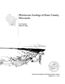
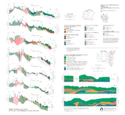
Pleistocene Geology of Dane County, Wisconsin
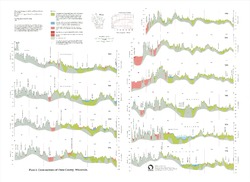
Description of the geologic history of Dane County. The preface points out the significance of glacial landscape research at WGNHS over the past century. Many pictures and diagrams and a four-color map and cross sections show the striking differences between glaciated and unglaciated regions of the county. Map and cross sections are folded.-
Pleistocene Geology of Dane County, Wisconsin
1997
Report: 64 p. + map and cross sections (scale: 1:100,000)
-
Pleistocene Geology of Dane County, Wisconsin (version 2) [GIS data]
1997
GIS Data: GeMS file geodatabase and metadata; supersedes previous coverage format
-
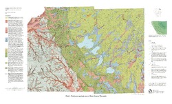
Pleistocene Geologic Map of Dane County, Wisconsin [plate 1]
1997
Map: Scale 1:100,000, 39 in x 24 in
-
-
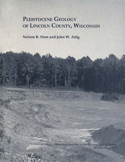
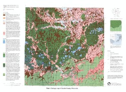
Pleistocene Geology of Lincoln County, Wisconsin
-
Pleistocene Geology of Lincoln County, Wisconsin (version 2) [GIS data]
1997
GIS Data: GeMS file geodatabase and metadata; supersedes previous coverage format
-
Pleistocene Geology of Polk County, Wisconsin
-
Pleistocene Geology of Polk County, Wisconsin
2000
Report: 70 p. + map and cross sections (scale 1:100,000)
-
Pleistocene Geology of Polk County, Wisconsin [GIS data]
2000
GIS Data: GeMS file geodatabase and metadata
-
Pleistocene Geology and Cross Sections of Polk County, Wisconsin [plate 1]
1998
Map: Scale 1:100,000
-
-
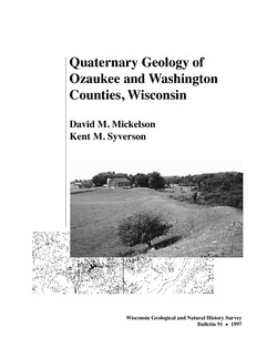
Quaternary Geology of Ozaukee and Washington Counties, Wisconsin
-
Quaternary Geology of Ozaukee and Washington Counties, Wisconsin
1997
Report: 56 p. + map and cross sections (scale 1:100,000)
-
Quaternary Geology of Ozaukee and Washington Counties, Wisconsin (version 2) [GIS data]
1997
GIS Data: GeMS Level 3 file geodatabase and metadata. Supersedes previous shapefile format (DI version 1).
-
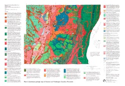
Quaternary Geologic Map of Ozaukee and Washington Counties, Wisconsin [plate 1]
1997
Map: Scale 1:100,000
-
Geologic Cross Sections of Ozaukee and Washington Counties, Wisconsin [plate 2]
1997
Plate: 26 in x 24 in
-
-
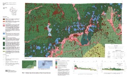
Pleistocene Geology of Taylor County, Wisconsin
-
Pleistocene Geology of Taylor County, Wisconsin
1993
Report: 25 p. + map and cross sections (scale 1:100,000)
-
Pleistocene Geology of Taylor County, Wisconsin (version 2) [GIS data]
1993
GIS Data: GeMS Level 3 file geodatabase and metadata. Supersedes previous coverage format (DI version 1).
-
-
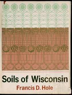
Soils of Wisconsin
A comprehensive summary of the soil resources of the state. Includes definitions of terms and concepts relating to the processes of soil formation, soil properties, soil classification, and descriptions of major soil regions and of the specific kinds of soils that characterize them. -
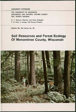
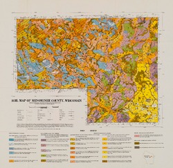
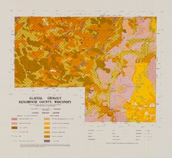
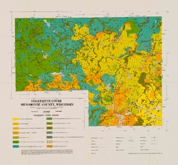
Soil Resources and Forest Ecology of Menominee County, Wisconsin
-
Soil Resources and Forest Ecology of Menominee County, Wisconsin
1967
Report: 203 p. + 3 maps (scale 1:63,360)
-
-
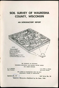
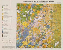
Soil Survey of Waukesha County, Wisconsin: An Introductory Report
-
Soil Survey of Waukesha County, Wisconsin: An Introductory Report
1956
Report: 63 p. + map (scale 1:63,360)
-
-
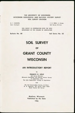
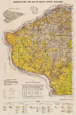
Soil Survey of Grant County, Wisconsin: An Introductory Report
-
Soil Survey of Grant County, Wisconsin: An Introductory Report
1956
Report: 54 p. + map (scale 1:63,360)
-

Publications Catalog
Wisconsin Geological and Natural History Survey