-
Preliminary Bedrock Geology of Ozaukee County, Wisconsin
Open-file report; contains unpublished data that has not yet been peer-reviewed.-
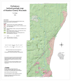
Preliminary Bedrock Geologic Map of Ozaukee County, Wisconsin
2004
Map: 15 in x 17 in, scale 1:100,000
-
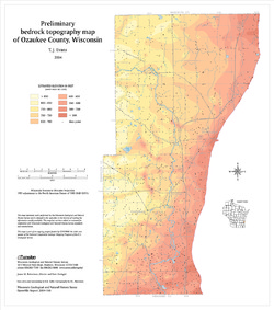
Preliminary Bedrock Topography Map of Ozaukee County, Wisconsin
2004
Map: 15 in x 17 in, scale 1:100,000
-
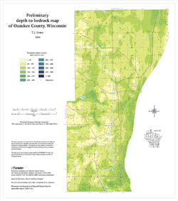
Preliminary Depth to Bedrock Map of Ozaukee County, Wisconsin
2004
Map: 15 in x 17 in, scale 1:100,000
-
-
Preliminary Bedrock Geology of Waukesha County, Wisconsin
Open-file report; contains unpublished data that has not yet been peer-reviewed.-
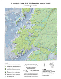
Preliminary Bedrock Geologic Map of Waukesha County, Wisconsin
2004
Map: 17.75 in x 23 in, scale 1:100,000
-
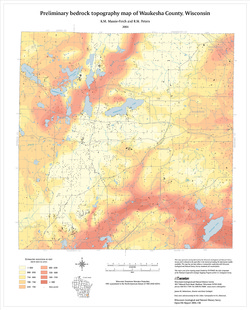
Preliminary Bedrock Topography Map of Waukesha County, Wisconsin
2004
Map: 17.75 in x 23 in, scale 1:100,000
-
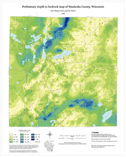
Preliminary Depth to Bedrock Map of Waukesha County, Wisconsin
2004
Map: 17.75 in x 23 in, scale 1:100,000
-
-
Preliminary Bedrock Geology of Milwaukee County, Wisconsin
Open-file report; contains unpublished data that has not yet been peer-reviewed.-
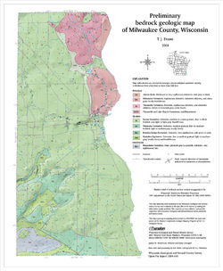
Preliminary Bedrock Geologic Map of Milwaukee County, Wisconsin
2004
Map: 14 in x 17 in, scale 1:100,000
-
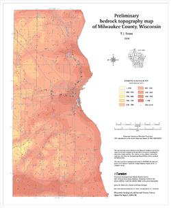
Preliminary Bedrock Topography Map of Milwaukee County, Wisconsin
2004
Map: 14 in x 17 in, scale 1:100,000
-
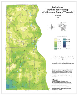
Preliminary Depth to Bedrock Map of Milwaukee County, Wisconsin
2004
Map: 14 in x 17 in, scale 1:100,000
-
-
Preliminary Bedrock Geology of Kenosha County, Wisconsin
Open-file report; contains unpublished data that has not yet been peer-reviewed.-
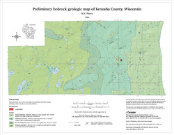
Preliminary Bedrock Geologic Map of Kenosha County, Wisconsin
2004
Map: 18 in x 14 in, scale 1:100,000
-
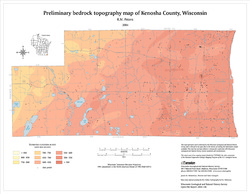
Preliminary Bedrock Topography Map of Kenosha County, Wisconsin
2004
Map: 18 in x 14 in, scale 1:100,000
-
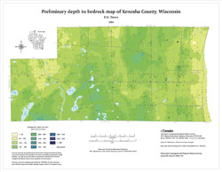
Preliminary Depth to Bedrock Map of Kenosha County, Wisconsin
2004
Map: 18 in x 14 in, scale 1:100,000
-
-
Preliminary Bedrock Geology of Racine County, Wisconsin
Open-file report; contains unpublished data that has not yet been peer-reviewed.-
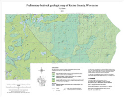
Preliminary Bedrock Geologic Map of Racine County, Wisconsin
2004
Map: 19 in x 15 in, scale 1:100,000
-
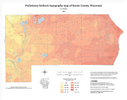
Preliminary Bedrock Topography Map of Racine County, Wisconsin
2004
Map: 19 in x 15 in, scale 1:100,000
-
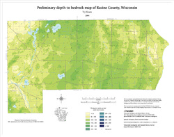
Preliminary Depth to Bedrock Map of Racine County, Wisconsin
2004
Map: 19 in x 15 in, scale 1:100,000
-
-
Preliminary Bedrock Geology of Walworth County, Wisconsin
Open-file report; contains unpublished data that has not yet been peer-reviewed.-
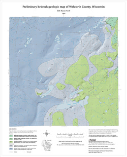
Preliminary Bedrock Geologic Map of Walworth County, Wisconsin
2004
Map: 17.75 in x 22 in, scale 1:100,000
-
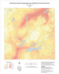
Preliminary Bedrock Topography Map of Walworth County, Wisconsin
2004
Map: 17.75 in x 22 in, scale 1:100,000
-
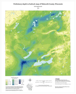
Preliminary Depth to Bedrock Map of Walworth County, Wisconsin
2004
Map: 17.75 in x 22 in, scale 1:100,000
-
-
Preliminary Pleistocene Geologic Map of Walworth County, Wisconsin
Open-file report; contains unpublished data that has not yet been peer-reviewed.-
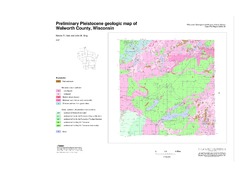
Preliminary Pleistocene Geologic Map of Walworth County, Wisconsin
2004
Map: 40 in x 28 in, scale 1:100,000
-
-
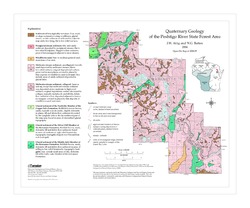
Quaternary Geology of the Peshtigo River State Forest Area
Open-file report; contains unpublished data that has not yet been peer-reviewed. -
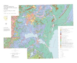
Preliminary Quaternary Geologic Map of the Central Fox River Lowland, Wisconsin
Open-file report; contains unpublished data that has not yet been peer-reviewed.-
Preliminary Quaternary Geologic Map of the Central Fox River Lowland, Wisconsin
2004
Map: 39 in x 32 in, scale 1:100,000
-
-
General Geology and Natural Resources of Winnebago County, Wisconsin: Field Trip Guide Book
Open-file report; contains unpublished data that has not yet been peer-reviewed. -
Evaluation of the Solute Transport Model Developed for the Proposed Crandon Mine Tailings Management Area and Reclaim Pond
Open-file report; contains unpublished data that has not yet been peer-reviewed. -
Simulation of Regional Groundwater Flow in Southeastern Wisconsin
Open-file report; contains unpublished data that has not yet been peer-reviewed.-
Simulation of Regional Groundwater Flow in Southeastern Wisconsin [data]
2004
Data: Groundwater flow model (.gfl file format)
-
Middle Keweenawan Basin Evolution Inferred from Geophysical Analysis of Strongly Magnetic Intrusion, Clam Lake, Wisconsin
Open-file report; contains unpublished data that has not yet been peer-reviewed. -
Delineation of Five-Year Zones of Contribution for Municipal Wells in LaCrosse County, Wisconsin
Open-file report; contains unpublished data that has not yet been peer-reviewed. -
Geologic and Geochemical Controls on Arsenic in Groundwater in Northeastern Wisconsin
Open-file report; contains unpublished data that has not yet been peer-reviewed.-
Geologic and Geochemical Controls on Arsenic in Groundwater in Northeastern Wisconsin [appendices]
2003
Data: Documents (.pdf file format)
-
Delineation of Zones of Contribution for Municipal Wells in Sauk County, Wisconsin: Final Report
Open-file report; contains unpublished data that has not yet been peer-reviewed. -
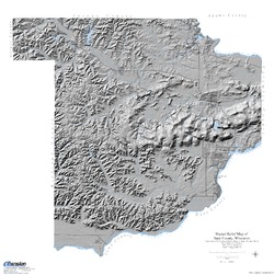
Shaded Relief Map of Sauk County, Wisconsin
Open-file report; contains unpublished data that has not yet been peer-reviewed. -
Delineation of Zones of Contribution for Municipal Wells in Rock County, Wisconsin: Final Report
Open-file report; contains unpublished data that has not yet been peer-reviewed. -
Regional-Scale Geologic Interpretation of Seismic Reflection, Gravity and Magnetic Profiles Collected along the Western Arm of the Midcontinent Rift System, Upper Peninsula of Michigan, Wisconsin, Minnesota and Iowa
Open-file report; contains unpublished data that has not yet been peer-reviewed.-
Regional-Scale Geologic Interpretation of Seismic Reflection, Gravity, and Magnetic Profiles Collected Along the Western Arm of the Midcontinent Rift System, Upper Peninsula of Michigan, Wisconsin, Minnesota and Iowa
2002
Report: HTML interactive document (.html file format)
-
-
Verification and Characterization of a Fracture Network within the Maquoketa Shale Confining Unit, Southeastern Wisconsin
Open-file report; contains unpublished data that has not yet been peer-reviewed.

Publications Catalog
Wisconsin Geological and Natural History Survey