-
Bedrock Geology of Wisconsin, West-Central Sheet
Types of bedrock, formation names, major faults, and time period of formation.-
Bedrock Geology of Wisconsin, West-Central Sheet [GIS data]
1988
GIS Data: GeMS file geodatabase (.gdb file format)
-
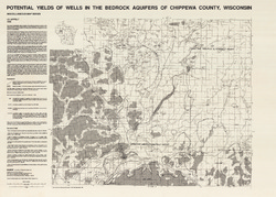
Potential Yields of Wells in the Bedrock Aquifers of Chippewa County, Wisconsin
-
Potential Yields of Wells in the Bedrock Aquifers of Chippewa County, Wisconsin
1988
Map: 31.5 in x 22.5 in, scale 1:100,000
-
-
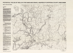
Potential Yields of Wells in the Sand and Gravel Aquifer of Chippewa County, Wisconsin
-
Potential Yields of Wells in the Sand-and-Gravel Aquifer of Chippewa County, Wisconsin
1988
Map: 31 in x 22.5 in, scale 1:100,000
-
-
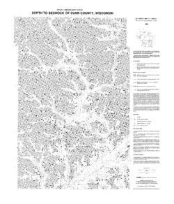
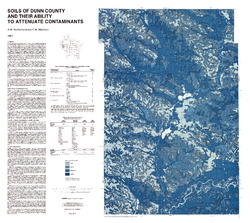
Potential Yields of Wells in the Sand-and-Gravel Aquifer of Dunn County, Wisconsin
-
Potential Yields of Wells in the Sand-and-Gravel Aquifer of Dunn County, Wisconsin
1988
Map: 22.5 in x 30 in, scale 1:100,000
-
-
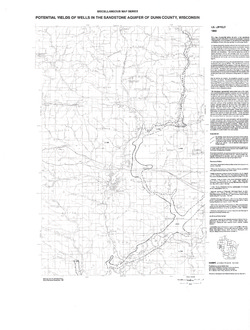
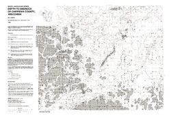
Potential Yields of Wells in the Sandstone Aquifer of Dunn County, Wisconsin
-
Potential Yields of Wells in the Sandstone Aquifer of Dunn County, Wisconsin
1988
Map: 23.2 in x 30.6 in, scale 1:100,000
-
-
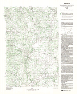
Generalized Water-Table Elevation of Dunn County, Wisconsin
-
Generalized Water-Table Elevation of Dunn County, Wisconsin
1988
Map: 22.3 in x 27.2 in, scale 1:100,000
-
GIS Data for the Generalized Water-Table Elevation of Dunn County, Wisconsin [dataset 1]
1988
GIS Data: File geodatabase (.gdb file format)
-
-
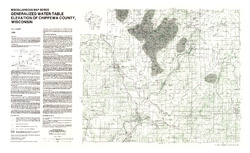
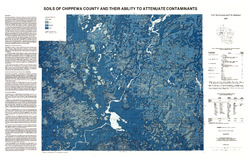
Generalized Water-Table Elevation of Chippewa County, Wisconsin
-
Generalized Water-Table Elevation of Chippewa County, Wisconsin
1988
Map: 36 in x 22 in, scale 1:100,000
-
GIS Data for the Generalized Water-Table Elevation of Chippewa County, Wisconsin [dataset 1]
1988
GIS Data: File geodatabase (.gdb file format)
-
-
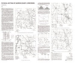
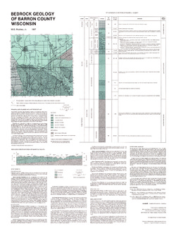
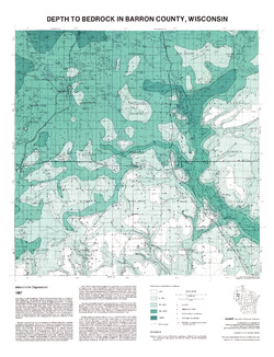
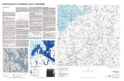
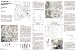
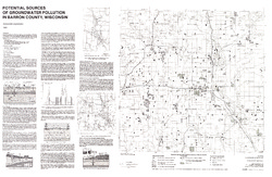
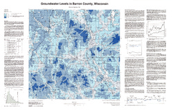
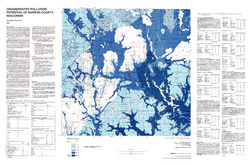
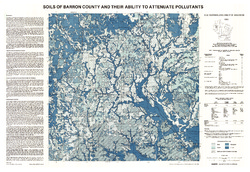
Atlas of Groundwater Resources and Geology of Barron County, Wisconsin
Includes Physical Setting; Soils of Barron County and Their Ability to Attenuate Pollutants; Bedrock Geology; Depth to Bedrock; Hydrogeology; Water Quality; Potential Sources of Groundwater Pollution; Groundwater Levels; Groundwater Pollution Potential.-
Atlas of Groundwater Resources and Geology of Barron County, Wisconsin: Soils of Barron County and Their Ability to Attenuate Pollutants
1987
Map: 30.8 in x 20.8 in, scale 1:100,000
-
Atlas of Groundwater Resources and Geology of Barron County, Wisconsin: Bedrock Geology of Barron County, Wisconsin
1987
Map: 21.5 in x 28.5 in, scale 1:250,000
-
Atlas of Groundwater Resources and Geology of Barron County, Wisconsin: Depth to Bedrock in Barron County, Wisconsin
1987
Map: 21.1 in x 27.6 in, scale 1:100,000
-
Atlas of Groundwater Resources and Geology of Barron County, Wisconsin: Hydrogeology of Barron County, Wisconsin
1987
Map: 37.5 in x 24.5 in, scale 1:100,000
-
Atlas of Groundwater Resources and Geology of Barron County, Wisconsin: Potential Sources of Groundwater Pollution in Barron County, Wisconsin
1987
Map: 35.75 in x 23.3 in, scale 1:100,000
-
Atlas of Groundwater Resources and Geology of Barron County, Wisconsin: Groundwater Levels in Barron County, Wisconsin
1987
Map: 35.8 in x 23.3 in, scale 1:100,000
-
Atlas of Groundwater Resources and Geology of Barron County, Wisconsin: Groundwater Pollution Potential of Barron County, Wisconsin
1987
Map: 36.7 in x 24.25 in, scale 1:100,000
-
Bedrock Geology of Wisconsin, Northwest Sheet
Types of bedrock, formation names, major faults, and time period of formation.-
Bedrock Geology of Wisconsin, Northwest Sheet
1987
Map: 37.5 in x 22 in, scale 1:250,000; 35.5 in x 20 in
-
Bedrock Geology of Wisconsin, Northwest Sheet [GIS data]
1987
GIS Data: MrSID files (.sid file format)
-

Publications Catalog
Wisconsin Geological and Natural History Survey