-
Generalized Water-Table Elevation of Dunn County, Wisconsin
-
GIS Data for the Generalized Water-Table Elevation of Dunn County, Wisconsin [dataset 1]
1988
GIS Data: File geodatabase, metadata
-
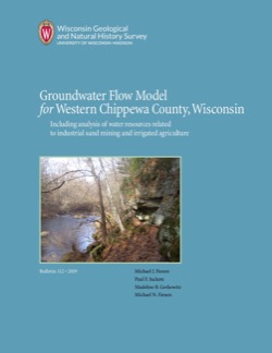
Groundwater Flow Model for Western Chippewa County
This report documents the groundwater flow model that was developed for western Chippewa County, Wisconsin. It also presents analyses that were run to evaluate how industrial sand (frac sand) mining and irrigated agriculture--might affect the water table and base flows of nearby headwater streams.

Publications Catalog
Wisconsin Geological and Natural History Survey