-
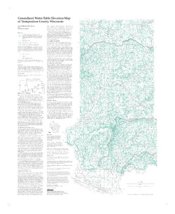
Generalized Water-Table Elevation of Dunn County, Wisconsin
-
GIS Data for the Generalized Water-Table Elevation of Dunn County, Wisconsin [dataset 1]
1988
GIS Data: File geodatabase, metadata
-
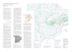
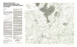
Generalized Water-Table Elevation of Chippewa County, Wisconsin
-
GIS Data for the Generalized Water-Table Elevation of Chippewa County, Wisconsin [dataset 1]
1988
GIS Data: File geodatabase, metadata
-
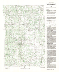
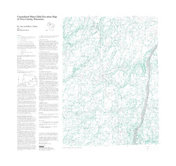
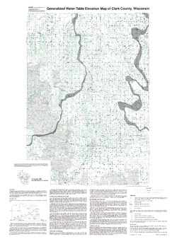
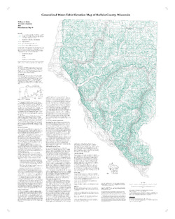
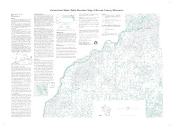
Generalized Water-Table Elevation Map of Burnett County, Wisconsin
-
Generalized Water-Table Elevation Map of Burnett County, Wisconsin
1998
Map: 38 in x 28 in, scale 1:100,000
-
-
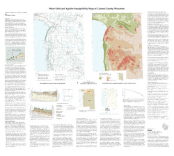
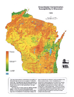
Groundwater Contamination Susceptibility in Wisconsin
How susceptible are different areas of Wisconsin to groundwater contamination? This map gives a quick visual overview. It was created using type of bedrock, depth to bedrock, depth to water table, soil type, and surface deposits.

Publications Catalog
Wisconsin Geological and Natural History Survey