-
Hydrogeologic Atlas of Bayfield County, Wisconsin
Analysis of the groundwater resources in Bayfield County, Wisconsin. Includes report, five plates, and digital data.-
Hydrogeologic Atlas of Bayfield County, Wisconsin [appendices]
2019
Data: Documents (.pdf file format)
-
Hydrogeologic Atlas of Bayfield County, Wisconsin [GIS data]
2019
GIS Data: File geodatabase (.gdb file format)
-
Generalized Water-Table Elevation Map of Bayfield County, Wisconsin [plate 1]
2019
Plate: 29.5 in x 39.5 in, scale 1:100,000
-
Depth to Water Table Map of Bayfield County, Wisconsin [plate 2]
2019
Plate: 29.5 in x 39.5 in, scale 1:100,000
-
Depth to Bedrock Map of Bayfield County, Wisconsin [plate 3]
2019
Plate: 29.5 in x 39.5 in, scale 1:100,000
-
Groundwater Recharge Map of Bayfield County, Wisconsin [plate 4]
2019
Plate: 29.5 in x 39.5 in, scale 1:100,000
-
Groundwater Susceptibility Map of Bayfield County, Wisconsin [plate 5]
2019
Plate: 29.5 in x 39.5 in, scale 1:100,000
-
Geochemistry and Mineralogy of the Wonewoc-Tunnel City Contact Interval Strata in Western Wisconsin
Results of regional study characterizing the elemental composition of rocks found at the Wonewoc-Tunnel City contact interval in west-central and southwest Wisconsin.-
Geochemistry and Mineralogy of the Wonewoc-Tunnel City Contact Interval Strata in Western Wisconsin [appendices]
2019
Data: Documents (.pdf file format), spreadsheets (.xlsx file format)
-
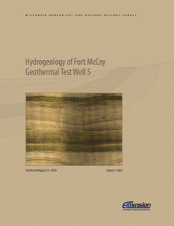
Hydrogeology of Fort McCoy Geothermal Test Well 5
Test hole drilled to 1,000 feet on Fort McCoy property provides data for understanding the geothermal gradient in Wisconsin and the hydrogeologic conditions found at Fort McCoy.-
Hydrogeology of Fort McCoy Geothermal Test Well 5 [appendices]
2016
Data: Documents (.pdf file format), spreadsheets (.xlsx file format)

Publications Catalog
Wisconsin Geological and Natural History Survey