-
Original Vegetation Cover of Wisconsin
Based on the original land-survey records compiled between 1832 and 1866. Also available as set with Wisconsin Land Cover map. -
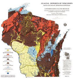
Glacial Deposits of Wisconsin: Sand and Gravel Resource Potential
Color map showing outwash, ground moraine, end moraine, and glacial deposits.-
Glacial Deposits of Wisconsin: Sand and Gravel Resource Potential
1976
Map: 45 in x 43.25 in, scale 1:500,000
-
-
Ground-Water Resources and Geology of Walworth County, Wisconsin
-
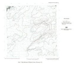
Water-Table Map of Walworth County, Wisconsin, 1973 [plate 1]
1976
Map: 18 in x 15.9 in, scale 1:125,000
-
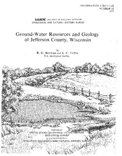
Ground-Water Resources and Geology of Jefferson County, Wisconsin
-
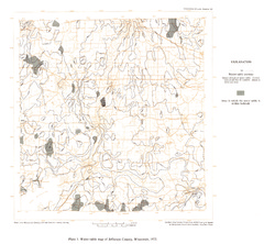
Water-Table Map of Jefferson County, Wisconsin, 1973 [plate 1]
1976
Map: 18 in x 16 in, scale 1 in = 2 miles
-
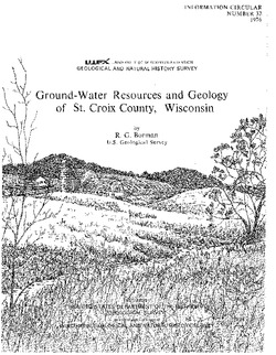
Ground-Water Resources and Geology of St. Croix County, Wisconsin
-
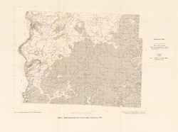
Water-Table Map of St. Croix County, Wisconsin, 1974 [plate 1]
1976
Map: 23.6 in x 17.5 in, scale 1:125,000

Publications Catalog
Wisconsin Geological and Natural History Survey