-
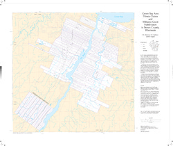
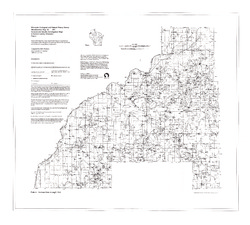
Green Bay Area Private Claims and Williams Grant Subdivision in Brown County, Wisconsin
-
Green Bay Area Private Claims and Williams Grant Subdivision in Brown County, Wisconsin
1997
Map: 30.8 in x 25.9 in, scale 1:36,000
-
-
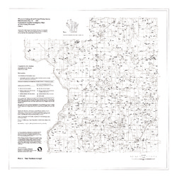
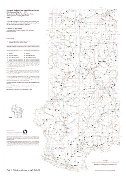
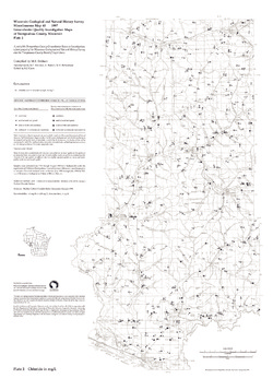
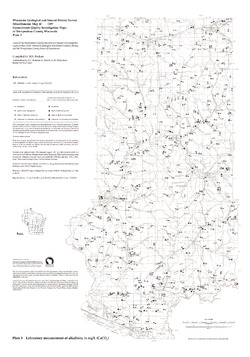
Groundwater Quality Investigation Maps of Polk County, Wisconsin
Includes Plate 1: Nitrate as Nitrogen in mg/L. Plate 2: Chloride in mg/L. Plate 3: Laboratory Measurement of Alkalinity in mg/L. Plate 4: Total Hardness in mg/L. Plate 5: Laboratory Measurement of Electrical Conductivity in μmhos/cm. Plate 6: Ferrous Iron in mg/L.-
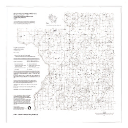
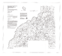
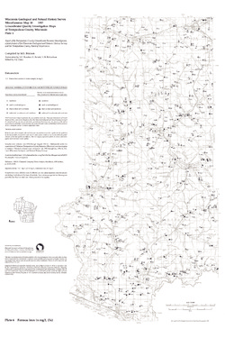
Groundwater Quality Investigation Maps of Polk County, Wisconsin: Nitrate as Nitrogen in mg/L [plate 1]
1997
Map: 30 in x 30 in, scale 1:100,000
-
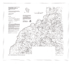
Groundwater Quality Investigation Maps of Polk County, Wisconsin: Chloride in mg/L [plate 2]
1997
Map: 30 in x 30 in, scale 1:100,000
-
Groundwater Quality Investigation Maps of Polk County, Wisconsin: Laboratory Measurement of Alkalinity in mg/L [plate 3]
1997
Map: 30 in x 30 in, scale 1:100,000
-
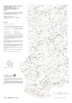
Groundwater Quality Investigation Maps of Polk County, Wisconsin: Total Hardness in mg/L [plate 4]
1997
Map: 30 in x 30 in, scale 1:100,000
-
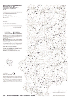
Groundwater Quality Investigation Maps of Polk County, Wisconsin: Laboratory Measurement of Electrical Conductivity in ?mhos/cm [plate 5]
1997
Map: 30 in x 30 in, scale 1:100,000
-
Groundwater Quality Investigation Maps of Polk County, Wisconsin: Ferrous Iron in mg/L [plate 6]
1997
Map: 30 in x 30 in, scale 1:100,000
-
-
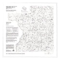
Groundwater Quality Investigation Maps of Burnett County, Wisconsin
-
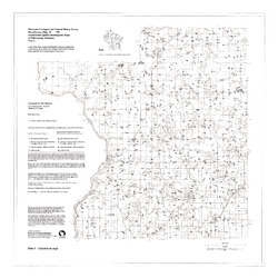
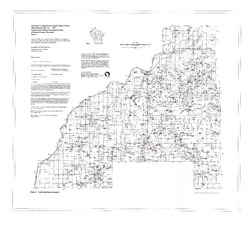
Groundwater Quality Investigation Maps of Burnett County, Wisconsin: Nitrate as Nitrogen in mg/L [plate 1]
1997
Map: 35.2 in x 31.8 in, scale 1:100,000
-
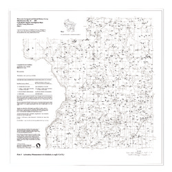
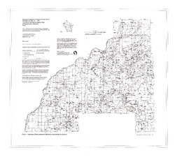
Groundwater Quality Investigation Maps of Burnett County, Wisconsin: Chloride in mg/L [plate 2]
1997
Map: 34.8 in x 31.3 in, scale 1:100,000
-
Groundwater Quality Investigation Maps of Burnett County, Wisconsin: Laboratory Measurement of Alkalinity in mg/L [plate 3]
1997
Map: 34.7 in x 31.3 in, scale 1:100,000
-
Groundwater Quality Investigation Maps of Burnett County, Wisconsin: Total Hardness in mg/L [plate 4]
1997
Map: 35.2 in x 31.7 in, scale 1:100,000
-
Groundwater Quality Investigation Maps of Burnett County, Wisconsin: Laboratory Measurement of Electrical Conductivity in ?mhos/cm [plate 5]
1997
Map: 35.5 in x 32 in, scale 1:100,000
-
Groundwater Quality Investigation Maps of Burnett County, Wisconsin: Ferrous Iron in mg/L [plate 6]
1997
Map: 35.5 in x 32 in, scale 1:100,000
-
-
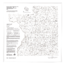
Groundwater Quality Investigation Maps of Trempealeau County, Wisconsin
Includes Plate 1: Nitrate as Nitrogen in mg/L. Plate 2: Chloride in mg/L. Plate 3: Laboratory Measurement of Alkalinity in mg/L. Plate 4: Total Hardness in mg/L. Plate 5: Laboratory Measurement of Electrical Conductivity in μmhos/cm. Plate 6: Ferrous Iron in mg/L.-
Groundwater Quality Investigation Maps of Trempealeau County, Wisconsin: Nitrate as Nitrogen in mg/L [plate 1]
1997
Map: 21 in x 30 in, scale 1:100,000
-
Groundwater Quality Investigation Maps of Trempealeau County, Wisconsin: Chloride in mg/L [plate 2]
1997
Map: 21 in x 30 in, scale 1:100,000
-
Groundwater Quality Investigation Maps of Trempealeau County, Wisconsin: Laboratory Measurement of Alkalinity in mg/L [plate 3]
1997
Map: 21 in x 30 in, scale 1:100,000
-
Groundwater Quality Investigation Maps of Trempealeau County, Wisconsin: Total Hardness in mg/L [plate 4]
1997
Map: 21 in x 30 in, scale 1:100,000
-
Groundwater Quality Investigation Maps of Trempealeau County, Wisconsin: Laboratory Measurement of Electrical Conductivity in ?mhos/cm [plate 5]
1997
Map: 21 in x 30 in, scale 1:100,000
-
Groundwater Quality Investigation Maps of Trempealeau County, Wisconsin: Ferrous Iron in mg/L [plate 6]
1997
Map: 20 in x 30 in, scale 1:100,000
-
-
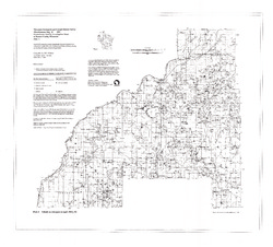
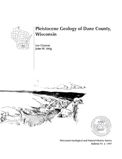
Pleistocene Geology of Dane County, Wisconsin
Description of the geologic history of Dane County. The preface points out the significance of glacial landscape research at WGNHS over the past century. Many pictures and diagrams and a four-color map and cross sections show the striking differences between glaciated and unglaciated regions of the county. Map and cross sections are folded.-
Pleistocene Geology of Dane County, Wisconsin (version 2) [GIS data]
1997
GIS Data: GeMS file geodatabase (.gdb file format)
-
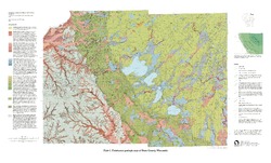
Pleistocene Geologic Map of Dane County, Wisconsin [plate 1]
1997
Map: 39 in x 23.5 in, scale 1:100,000
-
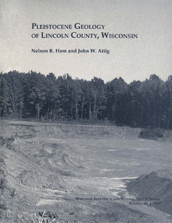
Pleistocene Geology of Lincoln County, Wisconsin
-
Pleistocene Geology of Lincoln County, Wisconsin (version 2) [GIS data]
1997
GIS Data: GeMS file geodatabase (.gdb file format)
-
Quaternary Geology of Ozaukee and Washington Counties, Wisconsin
-
Quaternary Geology of Ozaukee and Washington Counties, Wisconsin (version 2) [GIS data]
1997
GIS Data: GeMS Level 3 file geodatabase (.gdb file format)
-
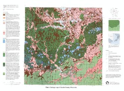
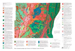
Quaternary Geologic Map of Ozaukee and Washington Counties, Wisconsin [plate 1]
1997
Map: 32.5 in x 22.5 in, scale 1:100,000
-
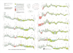
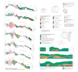
Geologic Cross Sections of Ozaukee and Washington Counties, Wisconsin [plate 2]
1997
Plate: 26 in x 24 in, scale 1:100,000

Publications Catalog
Wisconsin Geological and Natural History Survey