-
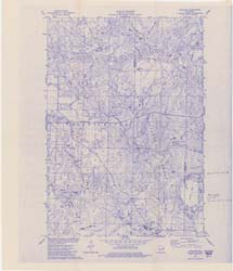
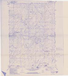
Compilation of Outcrops of Precambrian Rock in Northern Oconto County and Adjacent Segments of Forest, Langlade, Marinette, and Menominee Counties, Northeastern Wisconsin
Open-file report; contains unpublished data that has not yet been peer-reviewed. -
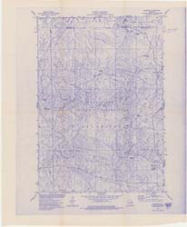
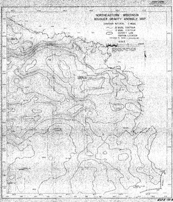
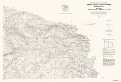
Bouguer Gravity Anomaly Map of Northeastern Wisconsin
Open-file report; contains unpublished data that has not yet been peer-reviewed. -
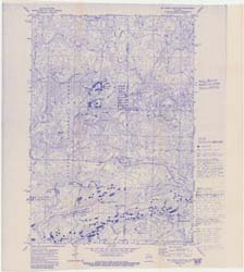
Bedrock Geology of Wisconsin, Northeast Sheet
Types of bedrock, formation names, major faults, and time period of formation.-
Bedrock Geology of Wisconsin, Northeast Sheet [GIS data]
1984
GIS Data: GeMS file geodatabase (.gdb file format)
-
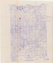
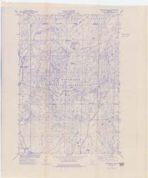
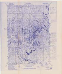
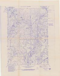
Reconnoissance [sic] Soil Survey of North Eastern Wisconsin
-
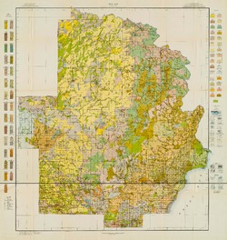
Soil Map: Wisconsin, Reconnoissance [sic] Survey - Northeastern Wisconsin Sheet
1916
Map: 23.6 in x 24.9 in, scale 1 in = 3 miles

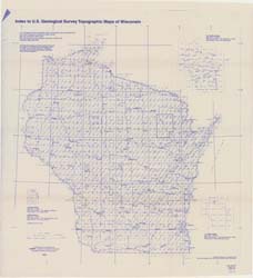
Publications Catalog
Wisconsin Geological and Natural History Survey