-
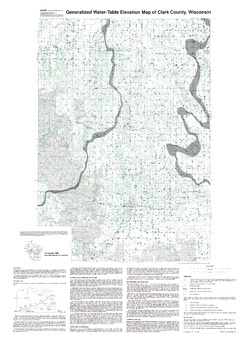
Generalized Water-Table Elevation of Clark County, Wisconsin
-
Generalized Water-Table Elevation Map of Clark County, Wisconsin
1990
Map: 27.5 in x 38 in, scale 1:100,000
-
-
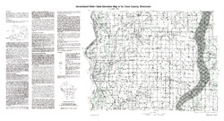
Generalized Water-Table Elevation of St. Croix County, Wisconsin
-
Generalized Water-Table Elevation Map of St. Croix County, Wisconsin
1990
Map: 34.8 in x 18.8 in, scale 1:100,000
-
-
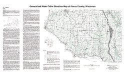
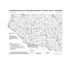
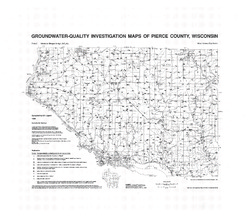
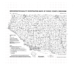
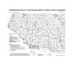
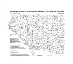
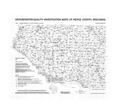
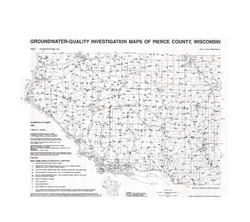
Groundwater-Quality Investigation Maps of Pierce County, Wisconsin
Includes Plate 1: Sample Numbers (map 90-3a). Plate 2: Nitrate as Nitrogen in mg/L (map 90-3b). Plate 3: Chloride in mg/L (map 90-3c). Plate 4: Laboratory Measurement of pH (map 90-3d). Plate 5: Total Hardness in mg/L (map 90-3e). Plate 6: Laboratory Measurement of Electrical Conductivity in μmhos/cm (map 90-3f). Plate 7: Ferrous Iron in mg/L (map 90-3g).-
Groundwater-Quality Investigation Maps of Pierce County, Wisconsin: Sample Numbers [plate 1]
1990
Map: 27.5 in x 24 in
-
Groundwater-Quality Investigation Maps of Pierce County, Wisconsin: Chloride in mg/L [plate 3]
1990
Map: 27.5 in x 24 in
-
Groundwater-Quality Investigation Maps of Pierce County, Wisconsin: Total Hardness in mg/L [plate 5]
1990
Map: 27.5 in x 24 in
-

Publications Catalog
Wisconsin Geological and Natural History Survey