-
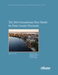
The 2016 Groundwater Flow Model for Dane County, Wisconsin
The 2016 groundwater flow model is a three-dimensional model using state-of-the-art representation of the hydrogeology of Dane County. This report describes the model, appendices provide data, and the user's manual provides basic instructions and recommendations for running the model.-
The 2016 Groundwater Flow Model for Dane County, Wisconsin [appendices]
2016
Data: Spreadsheets (.xlsx file format)
-
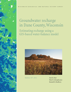
Groundwater Recharge in Dane County, Wisconsin: Estimating Recharge Using a GIS-Based Water-Balance Model
Hydrogeologists at the Survey developed a groundwater management tool to help guide land-use decisions in Dane County. The publication describes the inputs used to calculate recharge and includes a reduced-scale version of the recharge map. A full-scale version of the recharge data has been subsequently added as Dataset 1.-
GIS Data for Groundwater Recharge in Dane County, Wisconsin [dataset 1]
2012
GIS Data: File geodatabase (.gdb file format)
Publications Catalog
Wisconsin Geological and Natural History Survey


