-
Wisconsin Groundwater-Level Monitoring Network Improvements, 2022-2024
This report documents work completed as part of a grant from the U.S. Geological Survey's National Groundwater Monitoring Network (NGWMN) program. It provides an overview of the Wisconsin Groundwater-Level Monitoring Network (WGLMN) and provides detailed description of well evaluation and repair activities, and drilling of new monitoring wells across the... -
Geologic Map of Mill Bluff State Park, Monroe and Juneau Counties, Wisconsin
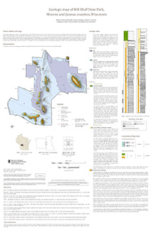
The geologic map of the Mill Bluff State Park provides a detailed look at the bedrock geology present at one of Wisconsin's most cherished natural sites. The map and accompanying report present the Paleozoic bedrock stratigraphy of the visible formations, as well as an interpretation of their depositional environment. This map was created as part of an...-
Geologic Map of Mill Bluff State Park, Monroe and Juneau Counties, Wisconsin
2024
Map: 24 x 36 in, scale 1:12,000
-
-
Wisconsin Groundwater-Level Monitoring Network Improvements, 2018-2021
This report documents work completed as part of a grant from the U.S. Geological Survey’s National Groundwater Monitoring Network (NGWMN) program. It provides an overview of the Wisconsin Groundwater-Level Monitoring Network (WGLMN) and provides detailed description of well evaluation and repair activities, and drilling of new monitoring wells across the...

Publications Catalog
Wisconsin Geological and Natural History Survey