-
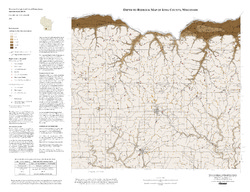
Depth to Bedrock Map of Iowa County, Wisconsin
Open-file report; contains unpublished data that has not yet been peer-reviewed. -
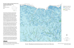
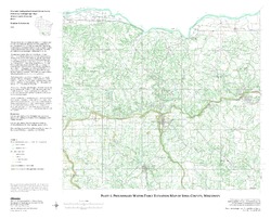
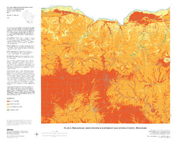
Preliminary Hydrogeologic Maps of Iowa County, Wisconsin
Open-file report; contains unpublished data that has not yet been peer-reviewed.-
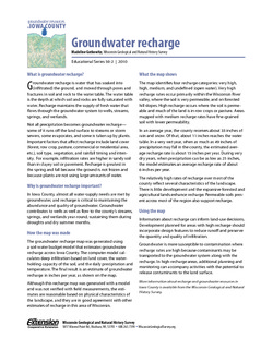
Preliminary Hydrogeologic Maps of Iowa County, Wisconsin: Preliminary Groundwater Recharge in Iowa County, Wisconsin [figure 1]
2010
Map: 28 in x 22 in, scale 1:225,000
-
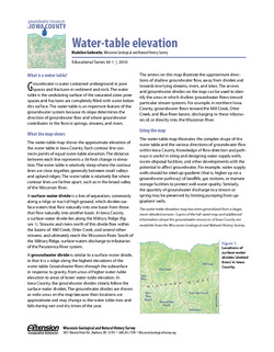
Preliminary Hydrogeologic Maps of Iowa County, Wisconsin: Preliminary Water-Table Elevation Map of Iowa County, Wisconsin [plate 1]
2010
Map: 26 in x 21 in, scale 1:100,000
-
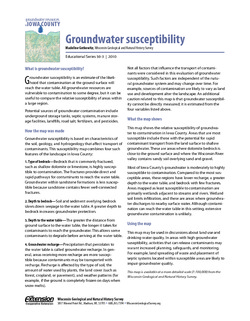
Preliminary Hydrogeologic Maps of Iowa County, Wisconsin: Preliminary Groundwater Susceptibility Map of Iowa County, Wisconsin [plate 2]
2010
Map: 26 in x 21 in, scale 1:100,000
-
-
Groundwater Resources in Iowa County
This four-part series describes the results of a comprehensive inventory and assessment of Iowa County's groundwater resources. Covers water-table elevation, groundwater recharge, groundwater susceptibility, and the springs of Iowa County.

Publications Catalog
Wisconsin Geological and Natural History Survey