-
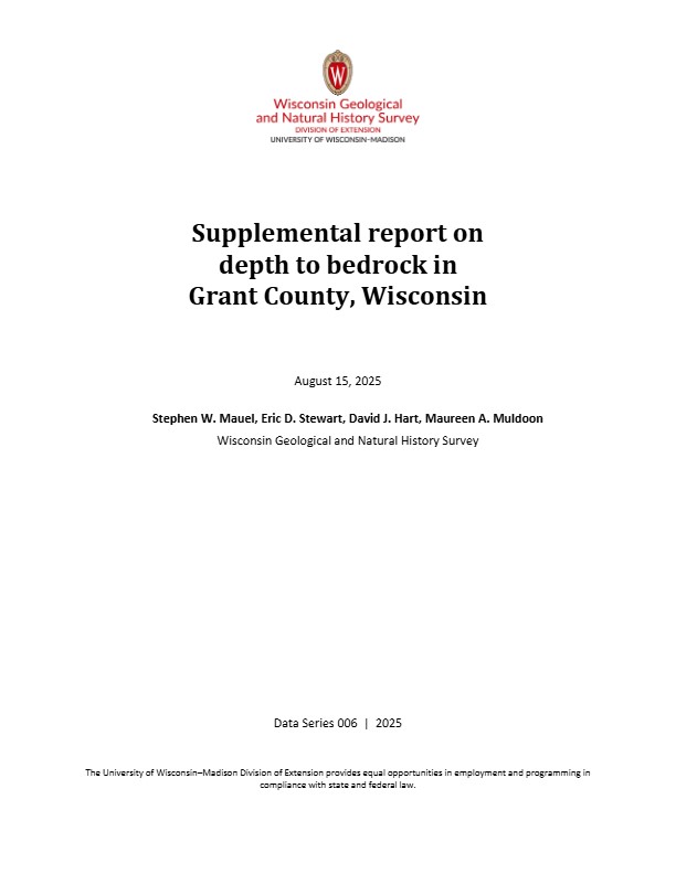
Depth to Bedrock in Grant County, Wisconsin
Depth-to-bedrock mapping of Grant County provides baseline information on unconsolidated surficial sediment thickness across the county. Bedrock aquifers in Grant County are susceptible to contamination from various land use activities, and depth to bedrock represents one of several factors affecting aquifer susceptibility. The results of this study...-
Depth to Bedrock in Grant County, Wisconsin [dataset 1]
2025
GIS Data: File geodatabase (.gdb file format)
-
-
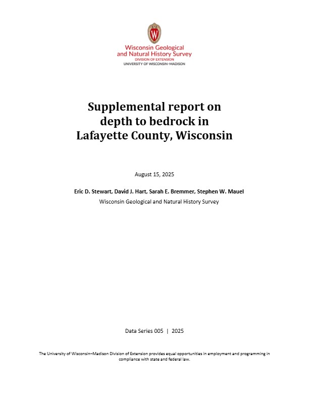
Depth to Bedrock in Lafayette County, Wisconsin
The depth-to-bedrock raster of Lafayette County is a continuous model of surficial sediment thickness with a cell size resolution of 32.8 ft (10 m). Results show that the depth to bedrock in Lafayette County varies depending on physiographic setting. The largest values occur in the Pecatonica River valley, where more than 100 ft (30.5 m) of unconsolidated...-
Depth to Bedrock in Lafayette County, Wisconsin [dataset 1]
2025
GIS Data: File geodatabase (.gdb file format)
-
-
Depth to Silurian Bedrock in Eastern Wisconsin
Silurian-aged bedrock in eastern Wisconsin is shallow, fractured, and contains groundwater that is susceptible to surface water contamination. Revisions to Wisconsin state rules ATCP50 and NR151 to regulate manure spreading over this Silurian-aged bedrock create the need for a depth-to-bedrock map of eastern WI. The Wisconsin Geological and Natural...-
Depth to Silurian Bedrock in Eastern Wisconsin [dataset 1]
2025
GIS Data: File geodatabase (.gdb file format)
-
Publications Catalog
Wisconsin Geological and Natural History Survey


