Counties: Sheboygan Tags: Surface Water
Smith, L.S.;
1898
Map: Scale 1 in = 1/7 mile
1978
Journal: 51 p.
Tabet, D.E.; Mangham, J.R.;
Journal Article: p. 1-19
Stieglitz, R.D.; Rothwell, B.;
Journal Article: p. 21-34
Pride, D.E.;
Journal Article: p. 35-51
Goldthwait, J.W.;
1907
Report: 134 p.
Fenneman, N.M.;
1902
Report: 188 p.
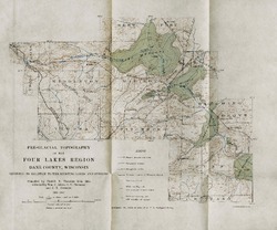
Thwaites, F.T.;
1910
Map: Scale 1 in = 2 miles