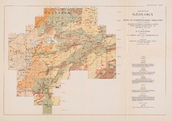
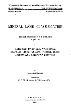
Order by Best Match A - Z Z - A Oldest Newest Go 4 publications found Series: Bulletin Authors: Bean, E.F. Filter Results Limestones and Marls of Wisconsin B066 Limestones and Marls of Wisconsin Steidtmann, E.; Hotchkiss, W.O.; Bean, E.F.; 1924 Report: 208 p. B066-plate06 Geologic Map of Wisconsin Showing Locations From Which Samples of Limestone, Dolomite, Marl, Shale or Clay Were Analyzed [plate 6] Bean, E.F.; 1924 Map: Scale 1:1,000,000 A Brief Outline of the Geology, Physical Geography, Geography, and Industries of Wisconsin B067 A Brief Outline of the Geology, Physical Geography, Geography, and Industries of Wisconsin Hotchkiss, W.O.; Bean, E.F.; 1925 Report: 60 p. Mineral Lands of Part of Northern Wisconsin B046 Mineral Lands of Part of Northern Wisconsin Hotchkiss, W.O.; Bean, E.F.; Aldrich, H.R.; 1929 Report: 212 p. B046-plate01 Map Showing Geology of Part of Northwestern Wisconsin Including Parts of Ashland, Bayfield, Washburn, Sawyer, Price, Oneida, Barron, Rusk, and Chippewa Counties [plate 1] Hotchkiss, W.O.; Bean, E.F.; Wheelwright, O.W.; 1929 Map: Scale 1 in = 6 miles Mineral Land Classification, Showing Indications of Iron Formation in Parts of Ashland, Bayfield, Washburn, Sawyer, Price, Oneida, Forest, Rusk, Barron, and ... B044 Mineral Land Classification: Showing Indications of Iron Formation in Parts of Ashland, Bayfield, Washburn, Sawyer, Price, Oneida, Forest, Rusk, Barron and Chippewa Counties Hotchkiss, W.O.; Bean, E.F.; Wheelwright, O.W.; 1915 Report: 378 p. B044-plate01 Map Showing Geology of Part of Northwestern Wisconsin Including Parts of Ashland, Bayfield, Washburn, Sawyer, Price, Oneida, Barron, Rusk, and Chippewa Counties [plate 1] Hotchkiss, W.O.; Bean, E.F.; Wheelwright, O.W.; 1915 Map: Scale 1 in = 6 miles