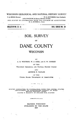
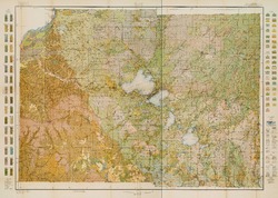
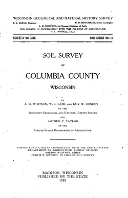
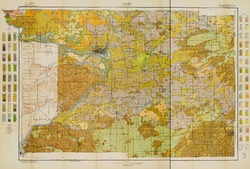
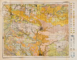
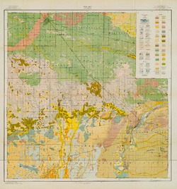
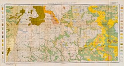
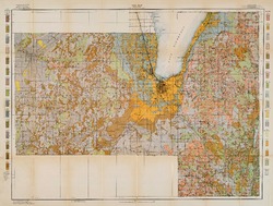
Order by Best Match A - Z Z - A Oldest Newest Go 6 publications found Authors: Conrey, G.W. Filter Results Soil Survey of Dane County, Wisconsin B053A Soil Survey of Dane County, Wisconsin Whitson, A.R.; Geib, W.J.; Conrey, G.W.; Taylor, A.E.; 1917 Report: 86 p. B053A-map01 Soil Map: Wisconsin, Dane County Sheet Geib, W.J.; Conrey, G.W.; Taylor, A.E.; 1917 Map: 33.1 in x 23.5 in, scale 1:62,500 Soil Survey of Columbia County, Wisconsin B049 Soil Survey of Columbia County, Wisconsin Whitson, A.R.; Geib, W.J.; Conrey, G.W.; Taylor, A.E.; 1916 Report: 84 p. B049-map01 Soil Map: Wisconsin, Columbia County Sheet Geib, W.J.; Conrey, G.W.; Taylor, A.E.; 1916 Map: 28.7 in x 19.4 in Soil Survey of Rock County, Wisconsin B053B Soil Survey of Rock County, Wisconsin Whitson, A.R.; Geib, W.J.; Conrey, G.W.; Gibbs, W.M.; Taylor, A.E.; 1922 Report: 80 p. B053B-map01 Soil Map: Wisconsin, Rock County Sheet Geib, W.J.; Conrey, G.W.; Gibbs, W.M.; Taylor, A.E.; 1922 Map: 23.8 in x 18.6 in, scale 1:62,500 Soil Survey of Wood County, Wisconsin B052B Soil Survey of Wood County, Wisconsin Whitson, A.R.; Geib, W.J.; Conrey, G.W.; Boardman, W.C.; Post, C.B.; 1918 Report: 86 p. B052B-map01 Soil Map: Wisconsin, Wood County Sheet Geib, W.J.; Conrey, G.W.; Boardman, W.C.; Post, C.B.; 1918 Map: 21.5 in x 23.0 in, scale 1 in = 1 mile Soil Survey of Waushara County, Wisconsin B028 Soil Survey of Waushara County, Wisconsin Whitson, A.R.; Geib, W.J.; Conrey, G.W.; Kuhlman, A.K.; Nelson, J.W.; 1913 Report: 63 p. B028-map01 Soil Survey of Wisconsin, Waushara County Sheet Nelson, J.W.; Conrey, G.W.; Kuhlman, A.K.; 1913 Map: 26.2 in x 14.0 in, scale 1 in = 1 mile Soil Survey of Fond du Lac County, Wisconsin B037 Soil Survey of Fond du Lac County, Wisconsin Whitson, A.R.; Geib, W.J.; Schoenmann, L.R.; Musbach, F.L.; Conrey, G.W.; Taylor, A.E.; 1914 Report: 85 p. B037-map01 Soil Map: Wisconsin, Fond du Lac County Sheet Schoenmann, L.R.; Musbach, F.L.; Geib, W.J.; Conrey, G.W.; Taylor, A.E.; 1914 Map: 26.9 in x 20.3 in, scale 1:62,500