-
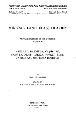
Mineral Land Classification, Showing Indications of Iron Formation in Parts of Ashland, Bayfield, Washburn, Sawyer, Price, Oneida, Forest, Rusk, Barron, and ...
-
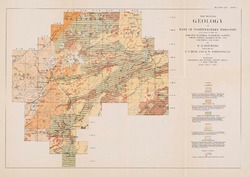
Map Showing Geology of Part of Northwestern Wisconsin Including Parts of Ashland, Bayfield, Washburn, Sawyer, Price, Oneida, Barron, Rusk, and Chippewa Counties [plate 1]
1915
Map: 20.7 in x 13.5 in, scale 1 in = 6 miles
-
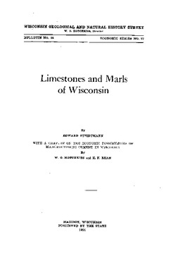
Limestones and Marls of Wisconsin
-
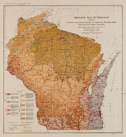
Geologic Map of Wisconsin Showing Locations From Which Samples of Limestone, Dolomite, Marl, Shale or Clay Were Analyzed [plate 6]
1924
Map: 15.5 in x 16.9 in, scale 1:1,000,000

Publications Catalog
Wisconsin Geological and Natural History Survey