-
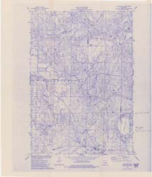
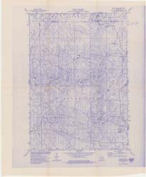
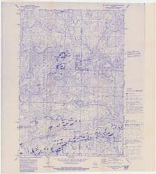
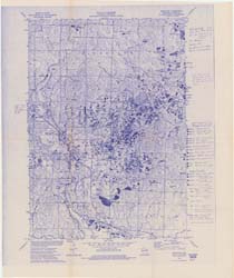
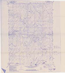
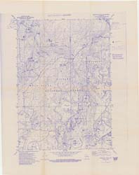
Compilation of Outcrops of Precambrian Rock in Northern Oconto County and Adjacent Segments of Forest, Langlade, Marinette, and Menominee Counties, Northeast...
Open-file report; contains unpublished data that has not yet been peer-reviewed.

Publications Catalog
Wisconsin Geological and Natural History Survey