-
Water-Table Map of Dane County
Open-file report; contains unpublished data that has not yet been peer-reviewed. -
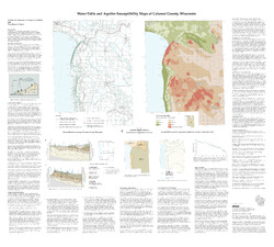
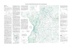
Bayfield County [Wisconsin] Water-Table Map and Water Well Database
This report provides information about well construction, groundwater flow, and resulting implications for well susceptibility in Bayfield County, Wisconsin. The work follows an earlier groundwater study that focused on two agricultural areas within Bayfield County.-
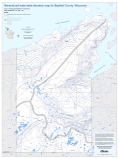
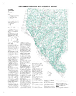
Generalized Water-Table Elevation Map for Bayfield County, Wisconsin [GIS data]
2017
GIS Data: Shapefiles
-
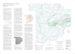
Generalized Water-Table Elevation Map for Bayfield County, Wisconsin [plate 1]
2017
Plate: 30 in x 40 in, scale 1:100,000
-
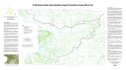
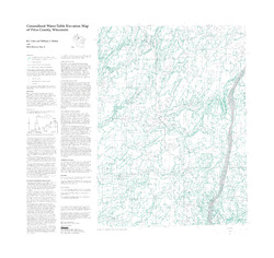
Preliminary Water-Table Elevation Map of Columbia County, Wisconsin
Open-file report; contains unpublished data that has not yet been peer-reviewed.-
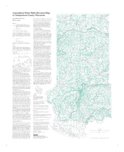
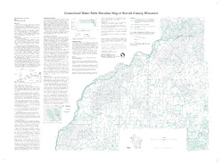
Preliminary Water-Table Elevation Map of Columbia County, Wisconsin
2012
Map: 36 in x 20 in, scale 1:100,000
-
Preliminary Water-Table Elevation Map of Columbia County, Wisconsin [GIS data]
2012
GIS Data: Shapefiles
-
-
Generalized Water-Table Elevation of Dunn County, Wisconsin
-
GIS Data for the Generalized Water-Table Elevation of Dunn County, Wisconsin [dataset 1]
1988
GIS Data: File geodatabase, metadata
-
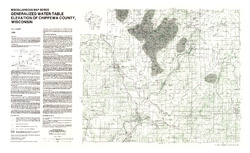
Generalized Water-Table Elevation of Chippewa County, Wisconsin
-
GIS Data for the Generalized Water-Table Elevation of Chippewa County, Wisconsin [dataset 1]
1988
GIS Data: File geodatabase, metadata
-
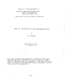
Water-Table Map of the Upper Black Earth Creek Watershed
Open-file report; contains unpublished data that has not yet been peer-reviewed. -
Generalized Water-Table Elevation Map of Burnett County, Wisconsin
-
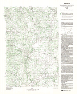
Generalized Water-Table Elevation Map of Burnett County, Wisconsin
1998
Map: 38 in x 28 in, scale 1:100,000
-
-
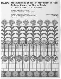
Guide to the Study of Water Movement in Soil Pedons Above the Water Table
Open-file report; contains unpublished data that has not yet been peer-reviewed.

Publications Catalog
Wisconsin Geological and Natural History Survey