-
Hydrogeology of Dane County, Wisconsin
Open-file report; contains unpublished data that has not yet been peer-reviewed.-
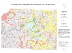
Water-Table Elevation and Unlithified Aquifers in Dane County, Wisconsin [plate 1]
1999
Map: 34.5 in x 25.5 in, scale 1:100,000
-
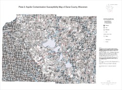
Aquifer Contamination Susceptibility Map of Dane County, Wisconsin [plate 2]
1999
Map: 34.5 in x 25.5 in, scale 1:100,000
-
Evaluation of the Confining Properties of the Maquoketa Formation in the SEWRPC Region of Southeastern Wisconsin: A Final Report Prepared for the Wisconsin Department of Natural Resources
Open-file report; contains unpublished data that has not yet been peer-reviewed. -
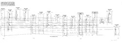
Correlation of High-Permeability Zones with Stratigraphic Features in the Silurian Dolomite, Sturgeon Bay, Wisconsin
Open-file report; contains unpublished data that has not yet been peer-reviewed.-
Correlation of High-Permeability Zones with Stratigraphic Features in the Silurian Dolomite, Sturgeon Bay, Wisconsin
1996
Report: 102 p. + 1 plate
-
-
Hydrologic Assessment of the Kickapoo Watershed, Southwestern Wisconsin
Open-file report; contains unpublished data that has not yet been peer-reviewed.-
Hydrologic Assessment of the Kickapoo Watershed, Southwestern Wisconsin
1998
Report: 81 p. + 4 plates
-
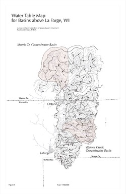
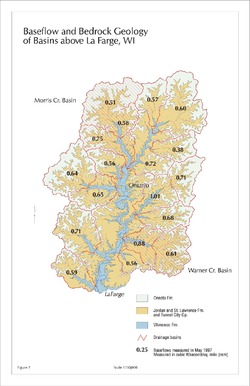
Baseflow and Bedrock Geology of Basins Above La Farge, WI [figure 7]
1998
Map: 11 in x 17 in, scale 1:150,000
-
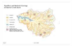
Baseflow and Bedrock Geology of Warner Creek Basin [figure 8]
1998
Map: 17 in x 11 in, scale 1:50,000
-
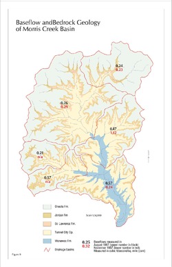
Baseflow and Bedrock Geology of Morris Creek Basin [figure 9]
1998
Map: 11 in x 17 in, scale 1:50,000
-
-
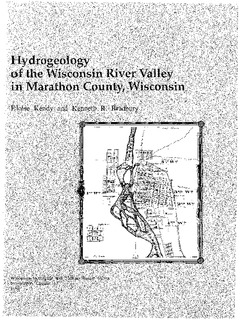
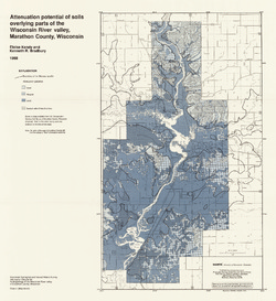
Hydrogeology of the Wisconsin River Valley in Marathon County, Wisconsin
-
Hydrogeology of the Wisconsin River Valley in Marathon County, Wisconsin
1988
Report: 66 p. + maps (scale 1:100,000)
-
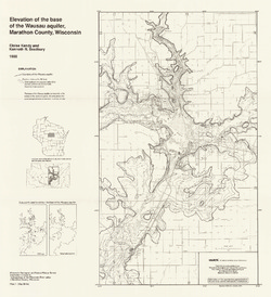
Elevation of the Base of the Wausau Aquifer, Marathon County, Wisconsin [plate 1]
1988
Map: Scale 1:62,500
-
Elevation of the Water Table in the Wisconsin River Valley, Marathon County, Wisconsin [plate 2]
1988
Map: Scale 1:62,500
-

Publications Catalog
Wisconsin Geological and Natural History Survey