-
Seasonal Geochemistry of Springs from Dolomite Aquifers of Southwestern Wisconsin
Open-file report; contains unpublished data that has not yet been peer-reviewed. -
Memorandum on Pumping Tests at Jefferson, Wisconsin
Open-file report; contains unpublished data that has not yet been peer-reviewed. -
Ground Water Resources of Mississippi Basin in Illinois, Iowa, Minnesota, and Wisconsin
Open-file report; contains unpublished data that has not yet been peer-reviewed. -
Hydrogeologic Atlas of Bayfield County, Wisconsin
Analysis of the groundwater resources in Bayfield County, Wisconsin. Includes report, five plates, and digital data.-
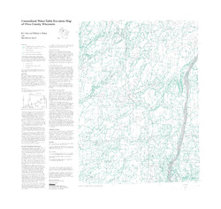
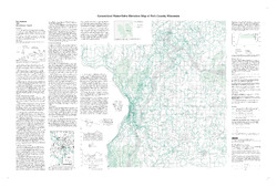
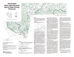
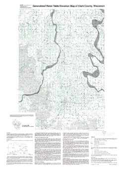
Generalized Water-Table Elevation Map of Bayfield County, Wisconsin [plate 1]
2019
Plate: 29.5 in x 39.5 in, scale 1:100,000
-
Depth to Water Table Map of Bayfield County, Wisconsin [plate 2]
2019
Plate: 29.5 in x 39.5 in, scale 1:100,000
-
Depth to Bedrock Map of Bayfield County, Wisconsin [plate 3]
2019
Plate: 29.5 in x 39.5 in, scale 1:100,000
-
Groundwater Recharge Map of Bayfield County, Wisconsin [plate 4]
2019
Plate: 29.5 in x 39.5 in, scale 1:100,000
-
Groundwater Susceptibility Map of Bayfield County, Wisconsin [plate 5]
2019
Plate: 29.5 in x 39.5 in, scale 1:100,000
-
Evaluation of the Solute Transport Model Developed for the Proposed Crandon Mine Tailings Management Area and Reclaim Pond
Open-file report; contains unpublished data that has not yet been peer-reviewed. -
Variability of Hydraulic Conductivity in Sandy Till: The Effects of Scale and Method
Open-file report; contains unpublished data that has not yet been peer-reviewed.

Publications Catalog
Wisconsin Geological and Natural History Survey