-
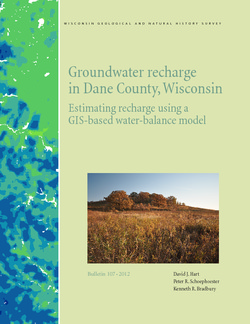
Groundwater Recharge in Dane County, Wisconsin: Estimating Recharge Using a GIS-Based Water-Balance Model
Hydrogeologists at the Survey developed a groundwater management tool to help guide land-use decisions in Dane County. The publication describes the inputs used to calculate recharge and includes a reduced-scale version of the recharge map. A full-scale version of the recharge data has been subsequently added as Dataset 1.-
GIS Data for Groundwater Recharge in Dane County, Wisconsin [dataset 1]
2012
GIS Data: File geodatabase, metadata
-
Distributed Temperature Sensing (DTS) as a Hydrostratigraphic Characterization Tool
Open-file report; contains unpublished data that has not yet been peer-reviewed. -
Portable X-Ray Fluorescence (pXRF) Measurements of Uranium and Thorium in Madison, Wisconsin, Water Utility Wells 4 and 27
Concentrations of radium at or above the health standard in a Madison municipal well prompted the water utility to request assistance from the Wisconsin Geological and Natural History Survey to better understand the source of the radium. This report documents a series of analyses performed on the elemental composition of rock samples from the affected...-
Portable X-Ray Fluorescence (pXRF) Measurements of Uranium and Thorium in Madison, Wisconsin, Water Utility Wells 4 and 27
2017
Report: 10 p. (report) + 28 p. (2 appendices)
-

Publications Catalog
Wisconsin Geological and Natural History Survey