-
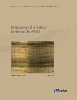
Hydrogeology of Fort McCoy Geothermal Test Well 5
Test hole drilled to 1,000 feet on Fort McCoy property provides data for understanding the geothermal gradient in Wisconsin and the hydrogeologic conditions found at Fort McCoy.-
Hydrogeology of Fort McCoy Geothermal Test Well 5 [appendices]
2016
Data: Documents (.pdf file format), spreadsheets (.xlsx file format)
-
Sampling Methodologies and Data Analysis Techniques for Geologic Materials Using Portable X-Ray Fluorescence (pXRF) Elemental Analysis
Details the current WGNHS approach to pXRF analysis, including usage guidelines, sample preparation, calibration, and plotting techniques.-
Sampling Methodologies and Data Analysis Techniques for Geologic Materials Using Portable X-Ray Fluorescence (pXRF) Elemental Analysis [appendices]
2016
Data: Documents (.pdf file format), spreadsheets (.xlsx file format)
-
The 2016 Groundwater Flow Model for Dane County, Wisconsin
The 2016 groundwater flow model is a three-dimensional model using state-of-the-art representation of the hydrogeology of Dane County. This report describes the model, appendices provide data, and the user's manual provides basic instructions and recommendations for running the model.-
The 2016 Groundwater Flow Model for Dane County, Wisconsin [appendices]
2016
Data: Spreadsheets (.xlsx file format)

Publications Catalog
Wisconsin Geological and Natural History Survey