-
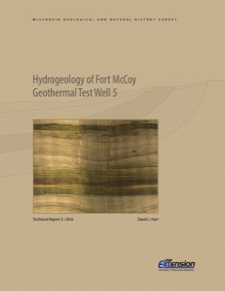
Hydrogeology of Fort McCoy Geothermal Test Well 5
Test hole drilled to 1,000 feet on Fort McCoy property provides data for understanding the geothermal gradient in Wisconsin and the hydrogeologic conditions found at Fort McCoy.-
Hydrogeology of Fort McCoy Geothermal Test Well 5 [appendices]
2016
Data: Documents (.pdf file format), spreadsheets (.xlsx file format)
-
Sampling Methodologies and Data Analysis Techniques for Geologic Materials Using Portable X-Ray Fluorescence (pXRF) Elemental Analysis
Details the current WGNHS approach to pXRF analysis, including usage guidelines, sample preparation, calibration, and plotting techniques.-
Sampling Methodologies and Data Analysis Techniques for Geologic Materials Using Portable X-Ray Fluorescence (pXRF) Elemental Analysis [appendices]
2016
Data: Documents (.pdf file format), spreadsheets (.xlsx file format)
-
Quaternary Geology of Door County, Wisconsin
Traces the complex glacial history of Door County. Map shows glacial units with shaded relief.-
Quaternary Geology of Door County, Wisconsin [GIS data]
2016
GIS Data: Shapefiles (.shp file format)
-
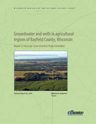
Groundwater and Wells in Agricultural Regions of Bayfield County, Wisconsin: Report to the Large-Scale Livestock Study Committee
Information and recommendations concerning groundwater and water supply wells in two agricultural regions in Bayfield County, Wisconsin. Includes a report, a water-table map, a set of four cross sections, and GIS data. (Replaces WOFR2015-02.)-
Groundwater and Wells in Agricultural Regions of Bayfield County, Wisconsin [GIS data]
2016
GIS Data: Shapefiles (.shp file format)
-
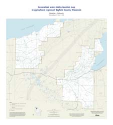
Generalized Water-Table Elevation Map in Agricultural Regions of Bayfield County, Wisconsin [plate 1]
2016
Map: 27 in x 30 in, scale 1:100,000
-
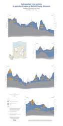
Hydrogeologic Cross Sections in Agricultural Regions of Bayfield County, Wisconsin [plate 2]
2016
Plate: 20 in x 40 in, scale 1:100,000
-
The 2016 Groundwater Flow Model for Dane County, Wisconsin
The 2016 groundwater flow model is a three-dimensional model using state-of-the-art representation of the hydrogeology of Dane County. This report describes the model, appendices provide data, and the user's manual provides basic instructions and recommendations for running the model.-
The 2016 Groundwater Flow Model for Dane County, Wisconsin [appendices]
2016
Data: Spreadsheets (.xlsx file format)
-
Geoscience Wisconsin Volume 22
This special edition of Geoscience Wisconsin provides an overview of the Niagara Escarpment in Wisconsin. The papers cover the geology, processes that shaped the escarpment, biota, bats, caves and karst, and the concept of conservation geology.-
Geoscience Wisconsin, Volume 22: Wisconsin's Niagara Escarpment
2016
Journal: 86 p. (introduction, 6 articles)
-
Publications Catalog
Wisconsin Geological and Natural History Survey

