-
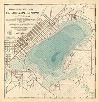
Hydrographic Map of Lake Monona, Dane County, Wisconsin, and of the Adjacent Topography
-
Hydrographic Map of Lake Monona, Dane County, Wisconsin, and of the Adjacent Topography
1900
Map: 18.7 in x 19.1 in, scale 1 in = 2,000 ft
-
-
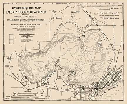
Hydrographic Map of Lake Mendota, Dane County, Wisconsin, and of Its Adjacent Topography
-
Hydrographic Map of Lake Mendota, Dane County, Wisconsin, and of Its Adjacent Topography
1900
Map: 24.9 in x 20.3 in, scale 1 in = 1/3 mile
-
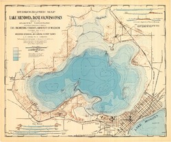
Hydrographic Map of Lake Mendota, Dane County, Wisconsin, and of Its Adjacent Topography
1900
Map: 24.9 in x 20.7 in, scale 1 in = 1/3 mile
-
-
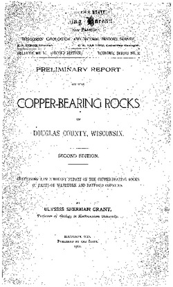
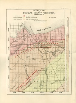
Preliminary Report on the Copper-Bearing Rocks of Douglas County, Wisconsin
-
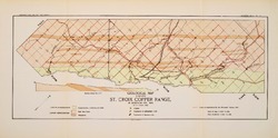
Geological Map of Part of the St. Croix Copper Range, in Douglas Co., Wis. [plate 7]
1900
Map: Scale 1 in = 4 miles
-
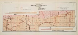
Geological Map of the Western Part of the Douglas Copper Range, in Douglas Co., Wis. [plate 8]
1900
Map: Scale 1 in = 4 miles
-
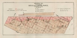
Geological Map of the Eastern Part of the Douglas Copper Range, in Douglas Co., Wis. [plate 9]
1900
Map: Scale 1 in = 4 miles
-
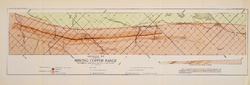
Geological Map of Part of the Minong Copper Range in Washburn, Douglas and Bayfield Counties, Wis. [plate 13]
1900
Map: Scale 1 in = 4 miles

Publications Catalog
Wisconsin Geological and Natural History Survey