-
Summary of Field Mapping in the Superior Map Sheet, Wisconsin
Open-file report; contains unpublished data that has not yet been peer-reviewed. -
Geologic Summary of the Ashland 2° Quadrangle
Open-file report; contains unpublished data that has not yet been peer-reviewed.-
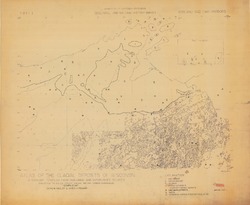
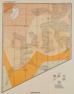
Preliminary Bedrock Geologic Map: Ashland Quadrangle
1979
Map: 4 p., 1 plate, 29.22 in x 25.65 in, scale 1:250,000
-
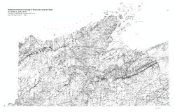
Bedrock Geology of Wisconsin, Northwest Sheet
Types of bedrock, formation names, major faults, and time period of formation.-
Bedrock Geology of Wisconsin, Northwest Sheet
1987
Map: 37.5 in x 22 in, scale 1:250,000; 35.5 in x 20 in
-
Bedrock Geology of Wisconsin, Northwest Sheet [GIS data]
1987
GIS Data: MrSID files (.sid file format)
-
-
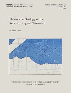
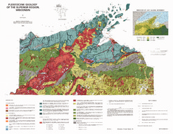
Pleistocene Geology of the Superior Region, Wisconsin
-
Pleistocene Geology of the Superior Region, Wisconsin (version 2) [GIS data]
1985
GIS Data: GeMS Level 3 file geodatabase (.gdb file format)
-
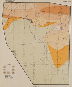
Pleistocene Geology of the Superior Region, Wisconsin [plate 1]
1985
Map: 35.9 in x 27.8 in, scale 1:250,000
-
Reconnoissance [sic] Soil Survey of North Part of North Central Wisconsin
-
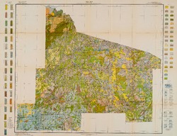
Soil Map: Wisconsin, Reconnoissance [sic] Survey - North Part of North Central Wisconsin Sheet
1916
Map: 26.0 in x 20.0 in, scale 1 in = 3 miles
-
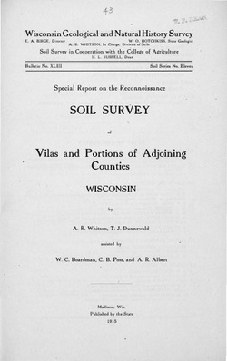
Special Report on the Reconnoissance [sic] Soil Survey of Vilas and Portions of Adjoining Counties, Wisconsin
-
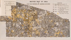
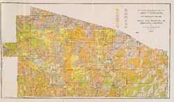
Reconnoissance [sic] Soil Map of Vilas and Portions of Adjoining Counties
1915
Map: 24.6 in x 14.5 in, scale 1/2 in = 1 mile
-
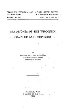
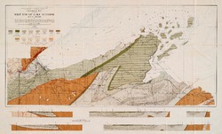
Sandstones of the Wisconsin Coast of Lake Superior
-
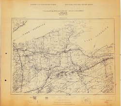
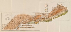
Geological Map of Part of West End of Lake Superior
1912
Map: 25.2 in x 15.2 in, scale 1 in = 3 miles

Publications Catalog
Wisconsin Geological and Natural History Survey