-
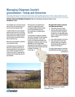
Managing Chippewa County's Groundwater--Today and Tomorrow: Evaluating the Impacts of Industrial Sand Mines and Irrigated Agriculture on the County's Water Resources
In 2012, Chippewa County commissioned the Wisconsin Geological Survey and the U.S. Geological Survey to conduct a 5-year study of the groundwater resources in the western part of the county. This 4-page publication describes the study and the computer models being developed for it. -
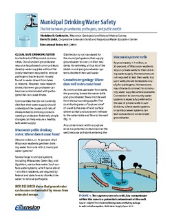
Municipal Drinking Water Safety: The Link Between Groundwater, Pathogens, and Public Health
Most Wisconsin municipalities already disinfect their water supply. For those that don't, this publication describes how viruses from untreated sewage can contaminate groundwater, causing acute gastrointestinal illness. It also identifies available technology for treating water. -
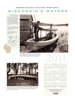
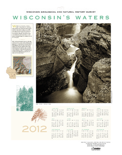
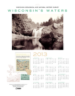
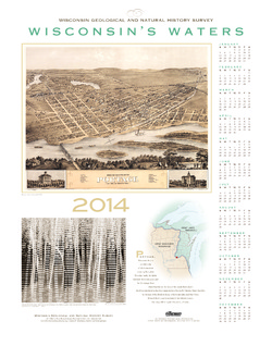
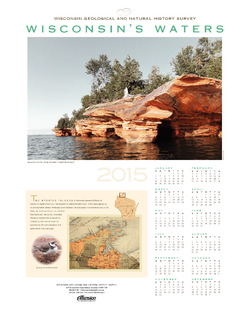
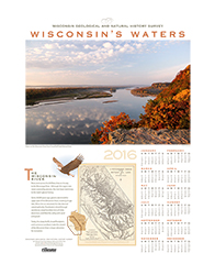
Wisconsin's Waters [2011-2016]
The Survey's annual poster calendar featuring Wisconsin scenery. The 2016 image showcases the Wisconsin River from the Ferry Bluff overlook. -
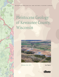
Pleistocene Geology of Kewaunee County, Wisconsin
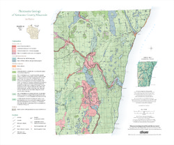
Kewaunee County, at the southern end of the Door Peninsula, was overrun by glaciers many times. Author Lee Clayton describes the county's complex glacial geology, from the surface soil down to solid rock. The accompanying map shows the placement of glacial sediments as well as glacial and post-glacial stream and lake sediments.-
Pleistocene Geology of Kewaunee County, Wisconsin [GIS data]
2013
GIS Data: Shapefiles (.shp file format)
-
Pleistocene Geology of Kewaunee County, Wisconsin [plate 1]
2013
Map: 21.5 in x 18 in, scale 1:100,000

Publications Catalog
Wisconsin Geological and Natural History Survey