-
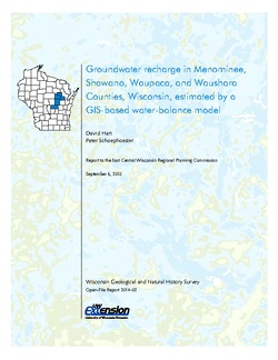
Groundwater Recharge in Menominee, Shawano, Waupaca, and Waushara Counties, Wisconsin, Estimated by a GIS-Based Water-Balance Model
This open-file report documents the recharge model created for the East Central Wisconsin Regional Planning Commission. Includes the resulting recharge map, a useful tool for land-use planners interested in identifying important groundwater recharge areas. -
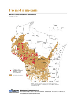
Frac Sand in Wisconsin
The state's golden sands have inspired Wisconsin's version of a gold rush. This 2-page fact sheet shows where sandstone formations occur in Wisconsin, where frac sand is being mined and processed, why our sand is so popular, and how it's being used. -
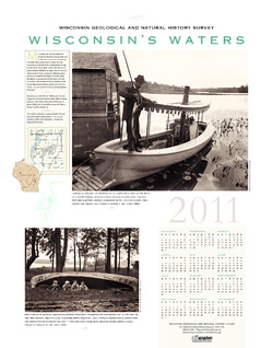
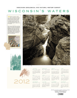
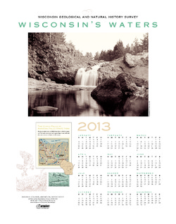
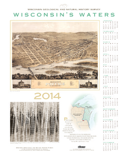
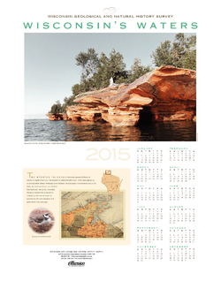
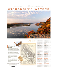
Wisconsin's Waters [2011-2016]
The Survey's annual poster calendar featuring Wisconsin scenery. The 2016 image showcases the Wisconsin River from the Ferry Bluff overlook.

Publications Catalog
Wisconsin Geological and Natural History Survey