-
Pleistocene Geology of Wood County, Wisconsin
-
Pleistocene Geology of Wood County, Wisconsin [GIS data]
1991
GIS Data: Shapefiles (.shp file format), MrSID files (.sid file format)
-
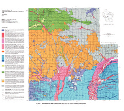
Map Showing the Pleistocene Geology of Wood County, Wisconsin [plate 1]
1991
Map: 25.5 in x 23 in, scale 1:100,000
-
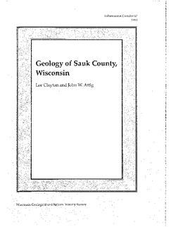
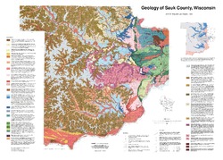
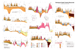
Geology of Sauk County, Wisconsin
Geologic history and description of Sauk County, the home of Devils Lake and Parfreys Glen. Includes four-color bedrock map and cross sections. Map and cross sections are folded.-
GIS Data for the Geology of Sauk County, Wisconsin (version 2) [dataset 1]
1990
GIS Data: GeMS Level 3 file geodatabase (.gdb file format), shapefiles (.shp file format)
-
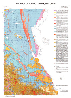
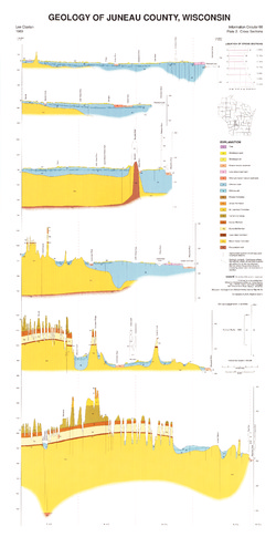
Geology of Juneau County, Wisconsin
-
GIS Data for the Geology of Juneau County, Wisconsin (version 2) [dataset 1]
1989
GIS Data: GeMS Level 3 file geodatabase (.gdb file format), shapefiles (.shp file format)
-
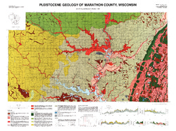
Pleistocene Geology of Marathon County, Wisconsin
-
Pleistocene Geology of Marathon County, Wisconsin (version 3) [GIS data]
1989
GIS Data: GeMS Level 3 file geodatabase (.gdb file format)
-
Pleistocene Geology of Marathon County, Wisconsin [plate 1]
1989
Map: 37.5 in x 28 in, scale 1:100,000
-
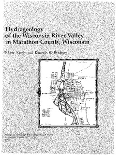
Hydrogeology of the Wisconsin River Valley in Marathon County, Wisconsin
-
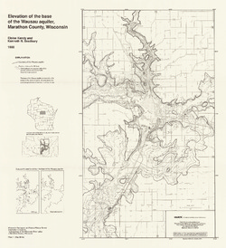
Elevation of the Base of the Wausau Aquifer, Marathon County, Wisconsin [plate 1]
1988
Map: 21.3 in x 23.3 in, scale 1:100,000
-
Elevation of the Water Table in the Wisconsin River Valley, Marathon County, Wisconsin [plate 2]
1988
Map: 21.3 in x 23.4 in, scale 1:100,000
-
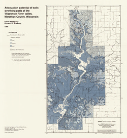
Attenuation Potential of Soils Overlying Parts of the Wisconsin River Valley, Marathon County, Wisconsin [plate 3]
1988
Map: 21.4 in x 23.3 in, scale 1:100,000
-
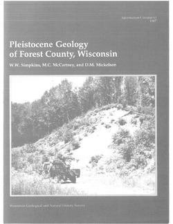
Pleistocene Geology of Forest County, Wisconsin
-
Pleistocene Geology of Forest County, Wisconsin (version 3) [GIS data]
1987
GIS Data: GeMS Level 3 file geodatabase (.gdb file format)
-
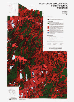
Pleistocene Geologic Map, Forest County, Wisconsin [plate 1]
1987
Map: 23.6 in x 32.5 in, scale 1:100,000
-
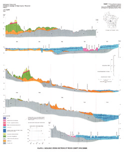
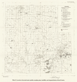
Hydrogeology of Wood County, Wisconsin
-
Location of Ground-Water-Quality Sampling Sites, Landfills, and Irrigated Fields in Wood County [plate 2]
1989
Map: 21.6 in x 23.1 in, scale 1:100,000
-
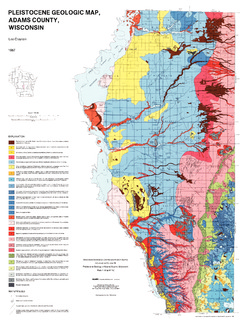
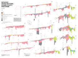
Pleistocene Geology of Adams County, Wisconsin
-
GIS Data for the Pleistocene Geology of Adams County, Wisconsin (version 2) [dataset 1]
1987
GIS Data: GeMS Level 3 file geodatabase (.gdb file format), shapefiles (.shp file format)
-
Pleistocene Geologic Map, Adams County, Wisconsin [plate 1]
1987
Map: 22 in x 28.5 in, scale 1:100,000
-
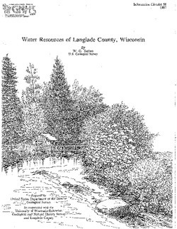
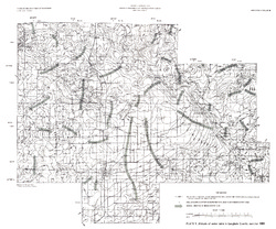
Water Resources of Langlade County, Wisconsin
-
Altitude of Water Table in Langlade, County, Summer 1983 [plate 1]
1987
Map: 26.5 in x 22 in, scale 1:100,000
-
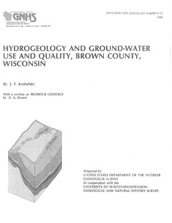
Hydrogeology and Ground-Water Use and Quality, Brown County, Wisconsin
-
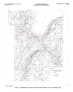
Potentiometric Surface of Upper Aquifer, Brown County, Wisconsin, 1980 [plate 1]
1986
Map: 20 in x 25 in, scale 1:100,000
-
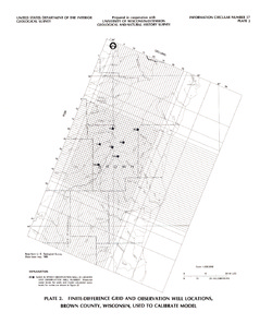
Finite-Difference Grid and Observation Well Locations, Brown County, Wisconsin, Used to Calibrate Model [plate 2]
1986
Map: 16 in x 19 in, scale 1:500,000
-
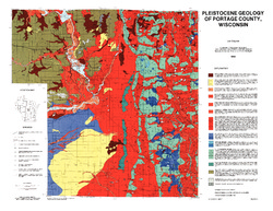
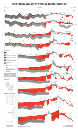
Pleistocene Geology of Portage County, Wisconsin
-
GIS Data for the Pleistocene Geology of Portage County, Wisconsin (version 2) [dataset 1]
1986
GIS Data: GeMS Level 3 file geodatabase (.gdb file format), shapefiles (.shp file format), GeoPackage (.gpkg file format)
-
Pleistocene Geology of Portage County, Wisconsin [plate 1]
1986
Map: 28.5 in x 22 in, scale 1:100,000

Publications Catalog
Wisconsin Geological and Natural History Survey