-
The Driftless Area: The extent of unglaciated and similar terrains in Wisconsin, Illinois, Iowa, and Minnesota
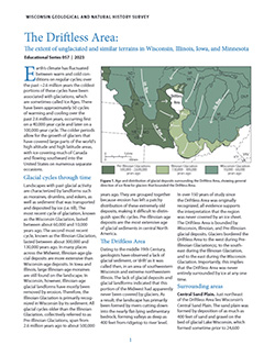
The Driftless Area of southwestern Wisconsin and northwestern Illinois got its name from the lack of glacial sediment ("drift") covering the landscape. The surficial geology and topography of the Driftless Area are thus distinct from the surrounding region where multiple phases of glaciation left their mark. This pamphlet, a collaborative effort between...-
GIS data for the outline of the Driftless Area and similar terrains in Wisconsin, Illinois, Iowa, and Minnesota
2023
GIS Data: Shapefiles (.shp file format)
-
Page-sized and web-version maps of the Driftless Area and similar terrains in Wisconsin, Illinois, Iowa, and Minnesota
2023
Map: Documents (.pdf file format), images (.tif file format)
-
Laurentide Ice Sheet: Ice-Margin Positions in Wisconsin
Series of 43 page-size maps showing the chronology of the last glaciation's advances and retreats across Wisconsin. Includes a brief discussion about how the maps were made, how lake positions were determined, as well as a list of selected references. -
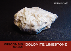
Wisconsin Rocks (set of 6 cards)
Trading cards profile five rocks (dolomite, granite, quartzite, shale, and sandstone) and one fossil (trilobite). Learn when and how the rocks formed, how the trilobite lived, plus a handful of interesting facts for each. -
Municipal Drinking Water Safety: The Link Between Groundwater, Pathogens, and Public Health
Most Wisconsin municipalities already disinfect their water supply. For those that don't, this publication describes how viruses from untreated sewage can contaminate groundwater, causing acute gastrointestinal illness. It also identifies available technology for treating water. -
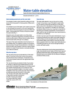
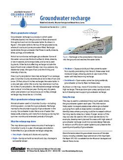
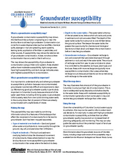
Groundwater Resources of Columbia County, Wisconsin
Three-part series describes the results of a comprehensive inventory and assessment of Columbia County's groundwater resources. Covers water-table elevation, groundwater recharge, and groundwater susceptibility. -
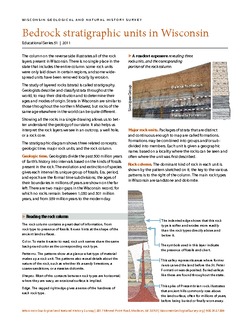
Bedrock Stratigraphic Units in Wisconsin
Chart showing the layers of rock (stratigraphy) present in Wisconsin, their geologic ages, and the associated rock units. The page-size version explains how to read and interpret this complex diagram. (The stratigraphic column is also available as a poster, see WOFR2006-06.) -
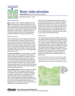
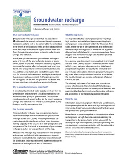
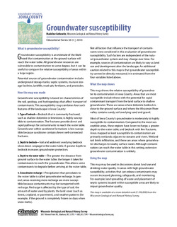
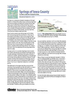
Groundwater Resources in Iowa County
This four-part series describes the results of a comprehensive inventory and assessment of Iowa County's groundwater resources. Covers water-table elevation, groundwater recharge, groundwater susceptibility, and the springs of Iowa County. -
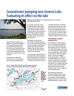
Groundwater Pumping Near Geneva Lake: Evaluating Its Effect on the Lake
A groundwater flow model developed for Geneva Lake and the surrounding region helps answer questions about flow into and out of the lake, and projects scenarios given increased pumping rates and potential long-term changes in climate. -
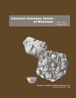
Common Paleozoic Fossils of Wisconsin
Describes how and where fossils form, what fossils tell us about ancient environments, how to collect fossils, and where to look for them. Heavily illustrated. -
Understanding Wisconsin Township, Range, and Section Land Descriptions
A guide to understanding the basics of township, range, and section. -
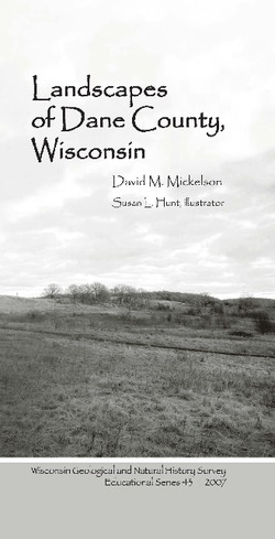
Landscapes of Dane County, Wisconsin
Explains the geologic causes of the county’s natural landscape and follows each description with an exploration of the parts of the county that showcase specific geologic features. Includes a folded color map that shows the surface geology and locations of parks. Heavily illustrated.-
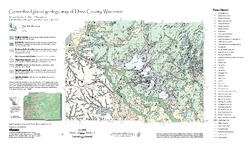
Generalized Glacial Geologic Map of Dane County, Wisconsin
2007
Map: 14.5 in x 24 in, scale 1:200,000
-
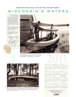
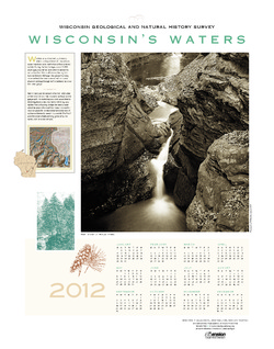
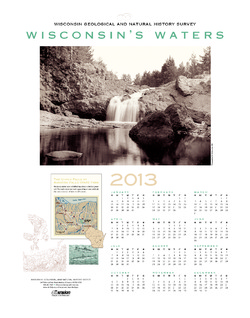
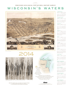
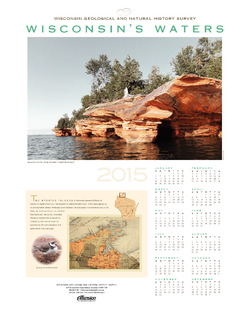
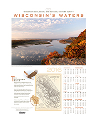
Wisconsin's Waters [2011-2016]
The Survey's annual poster calendar featuring Wisconsin scenery. The 2016 image showcases the Wisconsin River from the Ferry Bluff overlook. -
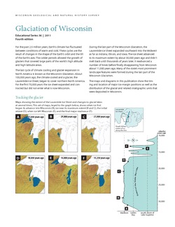
Glaciation of Wisconsin
Brief technical description of Wisconsin’s geologic history, glacial phases and lobes, and correlation and distribution of Pleistocene units. Heavily illustrated. -
The Ice Age Geology of Devils Lake State Park
Devils Lake State Park is a place of striking geologic contrasts, where some of the oldest rock exposed in southern Wisconsin lies next to some of the youngest geologic materials in the state. The purple rock (called Baraboo quartzite) in the walls of Devils Lake gorge is more than 1.7 billion years old; the glacially deposited ridges that block both ends...-
The Ice Age Geology of Devils Lake State Park
1990
Report: 28 p., 1 plate, 18 in x 24 in, scale 1:24,000
-
Publications Catalog
Wisconsin Geological and Natural History Survey

