None: 1911
Hotchkiss, W.O.; Thwaites, F.T.;
1911
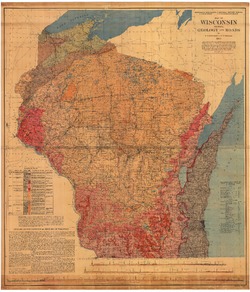
Map: 54 in x 62 in, scale 1:380,160
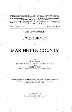
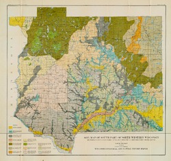
Weidman, S.; Wood, P.O.;
Report: 44 p.
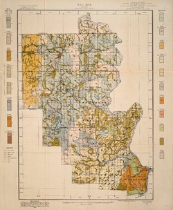
Weidman, S.; Wood, P.O.; Hall, E.B.; Spraker, E.B.;
Map: 18.6 in x 22.7 in, scale 1 in = 3 miles
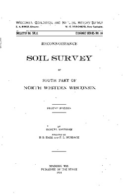
Weidman, S.; Hall, E.B.; Musbach, F.L.;
Report: 102 p.
Map: 23.8 in x 22.4 in, scale 1 in = 3 miles
Birge, E.A.; Juday, C.;
Report: 259 p.
Cleland, H.F.;
Report: 222 p.
Map: 8.3 in x 11.7 in