-
Tigerton Dells Mineral Resource Appraisal
Open-file report; contains unpublished data that has not yet been peer-reviewed. -
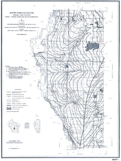
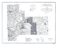
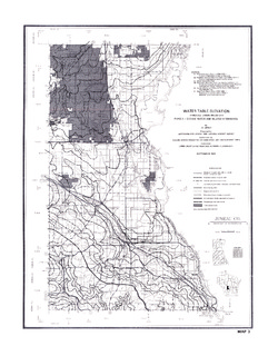
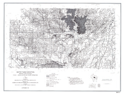
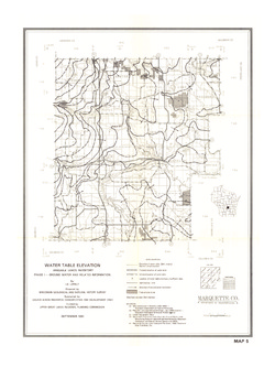
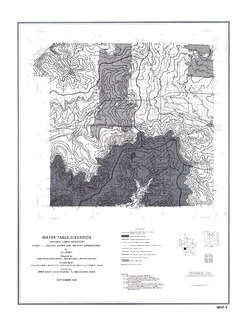
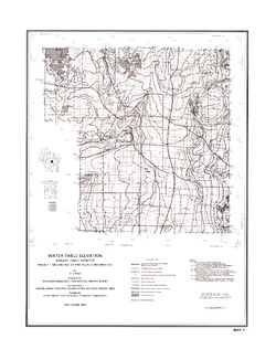
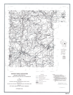
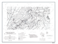
Irrigable Lands Inventory--Phase I Groundwater and Related Information
This paper contains hydrogeologic information for the Golden Sands Resource Conservation and Development Area in central Wisconsin. The set of maps includes water-table elevation maps for the following counties: Adams, Jackson, Juneau, Marathon, Marquette, Monroe, Portage, Waupaca, Waushara, and Wood (scale 1:126,720). It also includes a regional aquifer...-
Irrigable Lands Inventory - Phase I Groundwater and Related Information
1981
Report: 13 p., 11 maps, scale 1:126,720 and 1:500,000
- 2 more...
-
-
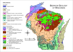
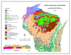
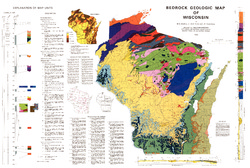
Bedrock Geologic Map of Wisconsin
Describes the types of rocks found throughout the state by age and explains how to interpret the accompanying cross section.-
Bedrock Geologic Map of Wisconsin [GIS data]
1982
GIS Data: MrSID files (.sid file format), coverage (.e00 file format)
-
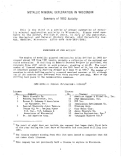
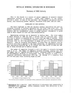
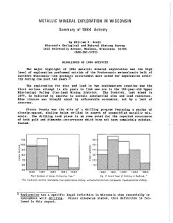
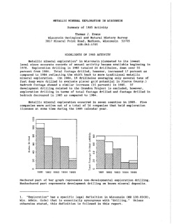
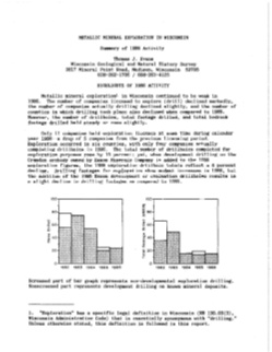
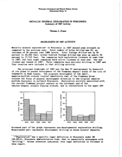
Metallic Mineral Exploration in Wisconsin [1980-1987]
Annual summaries of metallic mineral exploration in Wisconsin for 1980-1987. Each summary includes statistical reviews of exploration activity, highlights of the year's activity, and reviews of legislative actions affecting exploration.
Publications Catalog
Wisconsin Geological and Natural History Survey

