-
Merging Pleistocene Lithostratigraphy with Geotechnical and Hydrogeologic Data--Examples from Eastern Wisconsin
Open-file report; contains unpublished data that has not yet been peer-reviewed. -
Volcanic Hosted Gold Occurrence in Marathon County, Wisconsin
Open-file report; contains unpublished data that has not yet been peer-reviewed. -
Summary of Field Mapping in the Superior Map Sheet, Wisconsin
Open-file report; contains unpublished data that has not yet been peer-reviewed. -
Executive Summary of the Dunn County Groundwater Resource Investigation
Open-file report; contains unpublished data that has not yet been peer-reviewed. -
Executive Summary of the Chippewa County Groundwater Resource Investigation
Open-file report; contains unpublished data that has not yet been peer-reviewed. -
Occurrence of a Heterogeneous Pegmatite in Florence County, Wisconsin
Open-file report; contains unpublished data that has not yet been peer-reviewed. -
Uranium and Thorium Data for Selected Precambrian Rock Units in Northern Wisconsin
Open-file report; contains unpublished data that has not yet been peer-reviewed. -
Analytical Data of Precambrian Granitic Rock from Northeastern Wisconsin
Open-file report; contains unpublished data that has not yet been peer-reviewed. -
Geologic Logs from Milwaukee County, Wisconsin
Open-file report; contains unpublished data that has not yet been peer-reviewed. -
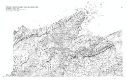
Bedrock Geology of Wisconsin, West-Central Sheet
Types of bedrock, formation names, major faults, and time period of formation.-
Bedrock Geology of Wisconsin, West-Central Sheet [GIS data]
1988
GIS Data: GeMS file geodatabase (.gdb file format)
-
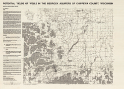
Potential Yields of Wells in the Bedrock Aquifers of Chippewa County, Wisconsin
-
Potential Yields of Wells in the Bedrock Aquifers of Chippewa County, Wisconsin
1988
Map: 31.5 in x 22.5 in, scale 1:100,000
-
-
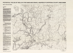
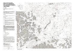
Potential Yields of Wells in the Sand and Gravel Aquifer of Chippewa County, Wisconsin
-
Potential Yields of Wells in the Sand-and-Gravel Aquifer of Chippewa County, Wisconsin
1988
Map: 31 in x 22.5 in, scale 1:100,000
-
-
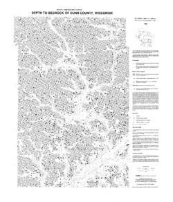
Potential Yields of Wells in the Sand-and-Gravel Aquifer of Dunn County, Wisconsin
-
Potential Yields of Wells in the Sand-and-Gravel Aquifer of Dunn County, Wisconsin
1988
Map: 22.5 in x 30 in, scale 1:100,000
-
-
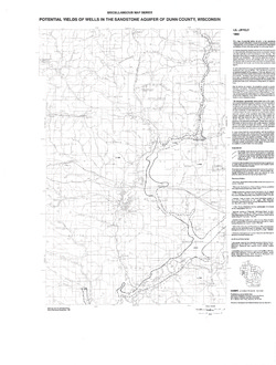
Potential Yields of Wells in the Sandstone Aquifer of Dunn County, Wisconsin
-
Potential Yields of Wells in the Sandstone Aquifer of Dunn County, Wisconsin
1988
Map: 23.2 in x 30.6 in, scale 1:100,000
-
-
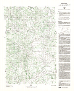
Generalized Water-Table Elevation of Dunn County, Wisconsin
-
Generalized Water-Table Elevation of Dunn County, Wisconsin
1988
Map: 22.3 in x 27.2 in, scale 1:100,000
-
GIS Data for the Generalized Water-Table Elevation of Dunn County, Wisconsin [dataset 1]
1988
GIS Data: File geodatabase (.gdb file format)
-
-
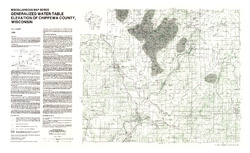
Generalized Water-Table Elevation of Chippewa County, Wisconsin
-
Generalized Water-Table Elevation of Chippewa County, Wisconsin
1988
Map: 36 in x 22 in, scale 1:100,000
-
GIS Data for the Generalized Water-Table Elevation of Chippewa County, Wisconsin [dataset 1]
1988
GIS Data: File geodatabase (.gdb file format)
-
-
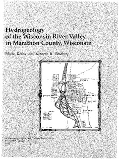
Hydrogeology of the Wisconsin River Valley in Marathon County, Wisconsin
-
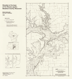
Elevation of the Base of the Wausau Aquifer, Marathon County, Wisconsin [plate 1]
1988
Map: 21.3 in x 23.3 in, scale 1:100,000
-
Elevation of the Water Table in the Wisconsin River Valley, Marathon County, Wisconsin [plate 2]
1988
Map: 21.3 in x 23.4 in, scale 1:100,000
-
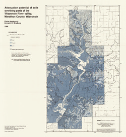
Attenuation Potential of Soils Overlying Parts of the Wisconsin River Valley, Marathon County, Wisconsin [plate 3]
1988
Map: 21.4 in x 23.3 in, scale 1:100,000

Publications Catalog
Wisconsin Geological and Natural History Survey