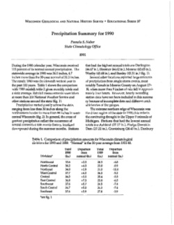
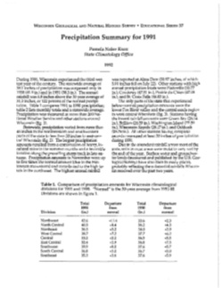
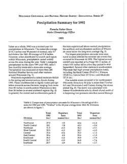
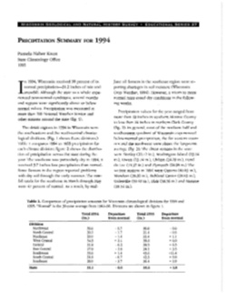
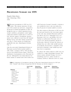
-
Distribution of Radionuclides in Wisconsin Groundwater
Open-file report; contains unpublished data that has not yet been peer-reviewed. -
Principal Facts for Gravity Stations in the Wisconsin West-Central 1° by 2° Map Sheet
Open-file report; contains unpublished data that has not yet been peer-reviewed.-
Principal Facts for Gravity Stations in the Wisconsin West-Central 1° by 2° Map Sheet
1993
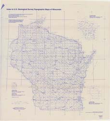
Data: Plain text files (.txt file format)
-
-
Compilation of Outcrops of Precambrian Rock in Northern Oconto County and Adjacent Segments of Forest, Langlade, Marinette, and Menominee Counties, Northeastern Wisconsin
Open-file report; contains unpublished data that has not yet been peer-reviewed. -
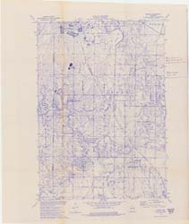
Gridded Aeromagnetic Data for Northern Wisconsin
Open-file report; contains unpublished data that has not yet been peer-reviewed. -
Variability of Hydraulic Conductivity in Sandy Till: The Effects of Scale and Method
Open-file report; contains unpublished data that has not yet been peer-reviewed. -
Lithostratigraphic Description and Classification of Loess-Stratigraphic Units in Wisconsin
Open-file report; contains unpublished data that has not yet been peer-reviewed. -
Evaluation of NURE Hydrogeochemical Data for Use in Wisconsin Groundwater Studies
Open-file report; contains unpublished data that has not yet been peer-reviewed. -
Summary of Survey on Groundwater Vulnerability Mapping Practices in the United States
Open-file report; contains unpublished data that has not yet been peer-reviewed. -
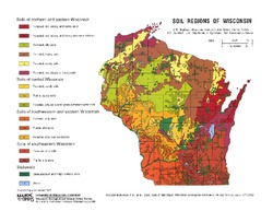
Soil Regions of Wisconsin
Shows 15 general soil regions of Wisconsin. On the landscape, many of these regions appear distinctly different from each other because differences in land form and use are often related to the characteristics of the soils. -
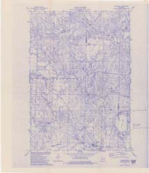
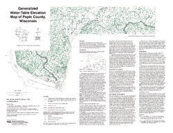
Generalized Water-Table Elevation of Pepin County, Wisconsin
-
Generalized Water-Table Elevation Map of Pepin County, Wisconsin
1993
Map: 25 in x 19.3 in, scale 1:100,000
-
-
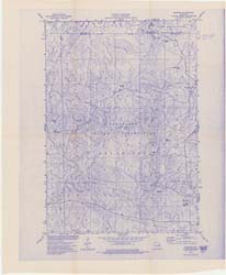
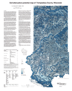
Soil-Attenuation-Potential Map of Trempealeau County, Wisconsin
-
Soil-Attenuation-Potential Map of Trempealeau County, Wisconsin
1993
Map: 24 in x 30 in, scale 1:100,000
-
-
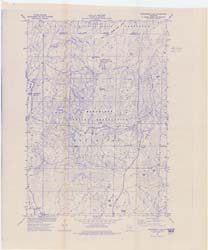
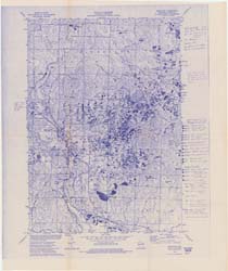
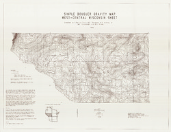
Simple Bouguer Anomaly Gravity Map, West Central Wisconsin Sheet
-
Simple Bouguer Gravity Map, West-Central Wisconsin Sheet
1993
Map: 43.3 in x 33.2 in, scale 1:250,000
-
-
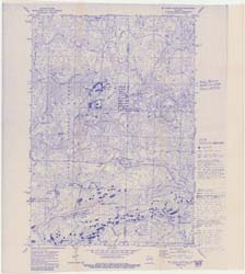
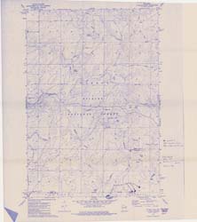
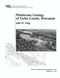
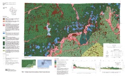
Pleistocene Geology of Taylor County, Wisconsin
-
Pleistocene Geology of Taylor County, Wisconsin (version 2) [GIS data]
1993
GIS Data: GeMS Level 3 file geodatabase (.gdb file format)
-
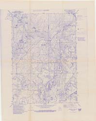
Geologic Map and Cross Sections of Taylor County, Wisconsin [plate 1]
1993
Map: 36 in x 21.75 in, scale 1:100,000

Publications Catalog
Wisconsin Geological and Natural History Survey