-
Verification and Characterization of a Fracture Network within the Maquoketa Shale Confining Unit, Southeastern Wisconsin
Open-file report; contains unpublished data that has not yet been peer-reviewed. -
Preliminary Analysis of Aeromagnetic Data in Southern Wisconsin: The Role of Precambrian Basement in Paleozoic Evolution
Open-file report; contains unpublished data that has not yet been peer-reviewed.-
Preliminary Analysis of Aeromagnetic Data in Southern Wisconsin: The Role of Precambrian Basement in Paleozoic Evolution
2001
Data: Plain text files (.txt file format), documents (.pdf and .doc file formats), images (.jpg file format), spreadsheets (.xls file format)
-
-
Field Verification of Capture Zones for Municipal Wells at Sturgeon Bay, Wisconsin: Final Report to the Wisconsin Department of Natural Resources
Open-file report; contains unpublished data that has not yet been peer-reviewed. -
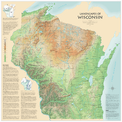
Landscapes of Wisconsin
Shows the elevation of Wisconsin through the use of color and shaded relief. Includes explanatory text about the geologic history of the state and more detailed information about 12 of the most prominent features. Poster map scale 1:500,000. Size: 42 x 42 inches. -
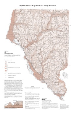
Groundwater Quality Investigation Maps of Buffalo County, Wisconsin
Includes Plate 1: Nitrate as Nitrogen in mg/L. Plate 2: Chloride in mg/L. Plate 3: Laboratory Measurement of Alkalinity in mg/L. Plate 4: Total Hardness in mg/L. Plate 5: Laboratory Measurement of Electrical Conductivity in μmhos/cm. Plate 6: Ferrous Iron in mg/L.-
Groundwater Quality Investigation Maps of Buffalo County, Wisconsin: Nitrate as Nitrogen in mg/L [plate 1]
2001
Map: 20 in x 30 in, scale 1:100,000
-
Groundwater Quality Investigation Maps of Buffalo County, Wisconsin: Chloride in mg/L [plate 2]
2001
Map: 20 in x 30 in, scale 1:100,000
-
Groundwater Quality Investigation Maps of Buffalo County, Wisconsin: Laboratory Measurement of Alkalinity in mg/L [plate 3]
2001
Map: 20 in x 30 in, scale 1:100,000
-
Groundwater Quality Investigation Maps of Buffalo County, Wisconsin: Total Hardness in mg/L [plate 4]
2001
Map: 19.7 in x 27.7 in, scale 1:100,000
-
Groundwater Quality Investigation Maps of Buffalo County, Wisconsin: Laboratory Measurement of Electrical Conductivity in ?mhos/cm [plate 5]
2001
Map: 21 in x 30 in, scale 1:100,000
-
Groundwater Quality Investigation Maps of Buffalo County, Wisconsin: Ferrous Iron in mg/L [plate 6]
2001
Map: 20 in x 30 in, scale 1:100,000
-
-
Geoscience Wisconsin Volume 18
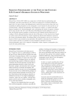
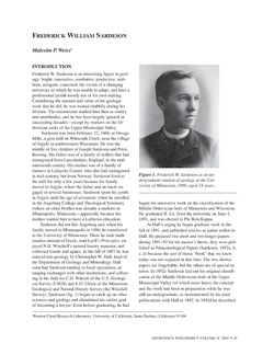
History of Wisconsin Geologists-
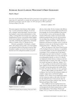
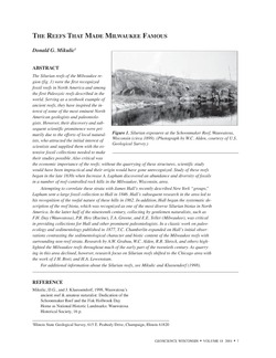
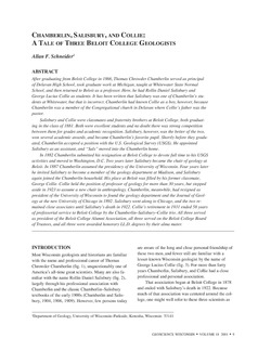
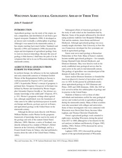
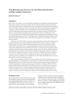
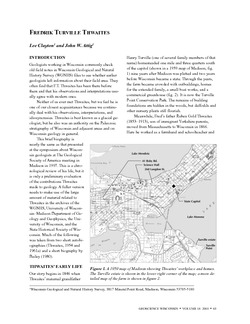
Chamberlin, Salisbury, and Collie: A Tale of Three Beloit College Geologists
2001
Journal Article: p. 9-20
-
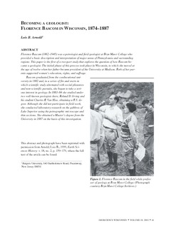
Sequence Stratigraphy at the Turn of the Century: E.O. Ulrich's Ozarkian System in Wisconsin
2001
Journal Article: p. 43-47
- 1 more...
-
Pleistocene Geology of Waukesha County, Wisconsin
-
Pleistocene Geology of Waukesha County, Wisconsin (version 2) [GIS data]
2001
GIS Data: GeMS file geodatabase (.gdb file format)
-
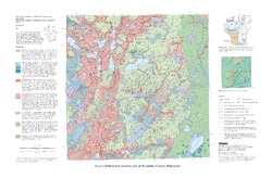
Pleistocene Geologic Map of Waukesha County, Wisconsin [plate 1]
2001
Map: 29 in x 19 in, scale 1:100,000
-
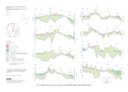
Pleistocene Geologic Cross Sections of Waukesha County, Wisconsin [plate 2]
2001
Plate: 25 in x 18 in, scale 1:200,000

Publications Catalog
Wisconsin Geological and Natural History Survey