-
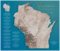
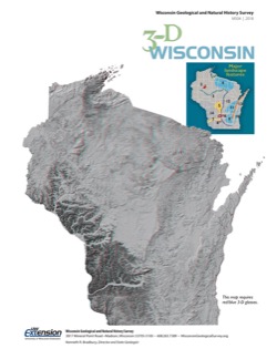
3-D Wisconsin
When viewed with 3-D glasses, Wisconsin’s land features pop off the page. Brief descriptions of major land forms paint the geologic history that shaped the state; expanded descriptions and photos are online. We’ve field-tested this map on fourth graders and can attest to its appeal. Sizes: 27.5 x 32 inches, 8.5 x 11 inches. Requires red-blue 3-D glasses. -
Human Viruses as Tracers of Wastewater Pathways into Deep Municipal Wells
Open-file report; contains unpublished data that has not yet been peer-reviewed. -
Preliminary Hydrogeologic Maps of Iowa County, Wisconsin
Open-file report; contains unpublished data that has not yet been peer-reviewed.-
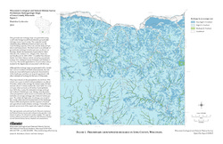
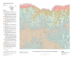
Preliminary Hydrogeologic Maps of Iowa County, Wisconsin: Preliminary Groundwater Recharge in Iowa County, Wisconsin [figure 1]
2010
Map: 28 in x 22 in, scale 1:225,000
-
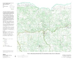
Preliminary Hydrogeologic Maps of Iowa County, Wisconsin: Preliminary Water-Table Elevation Map of Iowa County, Wisconsin [plate 1]
2010
Map: 26 in x 21 in, scale 1:100,000
-
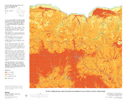
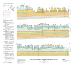
Preliminary Hydrogeologic Maps of Iowa County, Wisconsin: Preliminary Groundwater Susceptibility Map of Iowa County, Wisconsin [plate 2]
2010
Map: 26 in x 21 in, scale 1:100,000
-
-
Groundwater Susceptibility Maps, Diagrams, and Report for the Town of Byron, Fond du Lac County, Wisconsin
Open-file report; contains unpublished data that has not yet been peer-reviewed.-
Groundwater Susceptibility Maps and Diagrams for the Town of Byron, Fond du Lac County, Wisconsin
2010
Report: 16 p., 7 plates
-
-
Preliminary Geology of Iowa County, Wisconsin
Open-file report; contains unpublished data that has not yet been peer-reviewed.-
Preliminary Bedrock Geology of Iowa County, Wisconsin (version 2) [GIS data]
2010
GIS Data: GeMS file geodatabase (.gdb file format)
-
Preliminary Geologic Map of Iowa County, Wisconsin [plate 1]
2010
Map: 28 in x 22 in, scale 1:100,000
-
-
Groundwater Resources in Iowa County
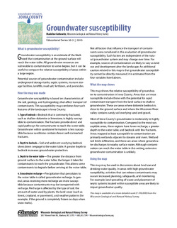
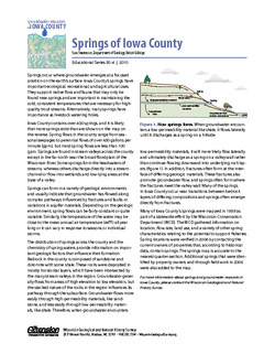
This four-part series describes the results of a comprehensive inventory and assessment of Iowa County's groundwater resources. Covers water-table elevation, groundwater recharge, groundwater susceptibility, and the springs of Iowa County. -
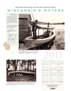
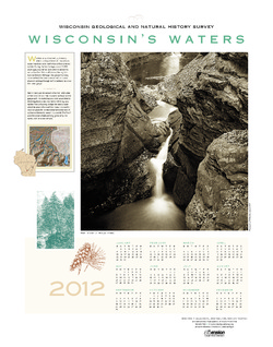
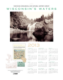
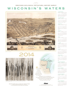
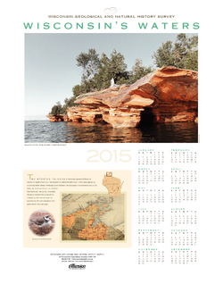
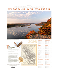
Wisconsin's Waters [2011-2016]
The Survey's annual poster calendar featuring Wisconsin scenery. The 2016 image showcases the Wisconsin River from the Ferry Bluff overlook.
Publications Catalog
Wisconsin Geological and Natural History Survey

